
There’s something undeniably magical about South Carolina’s Lowcountry. The gentle sway of Spanish moss, the serene marshlands, and the whispering tides create a backdrop that’s both enchanting and tranquil. I’ve always been drawn to its secluded corners, where time seems to slow down and nature takes center stage.
In exploring the Lowcountry, I’ve discovered some hidden neighborhoods that offer peace away from the hustle and bustle. Let me share with you 10 of these secluded havens that I’ve grown to love.
10. Fripp Island – Secluded Beachfront Serenity
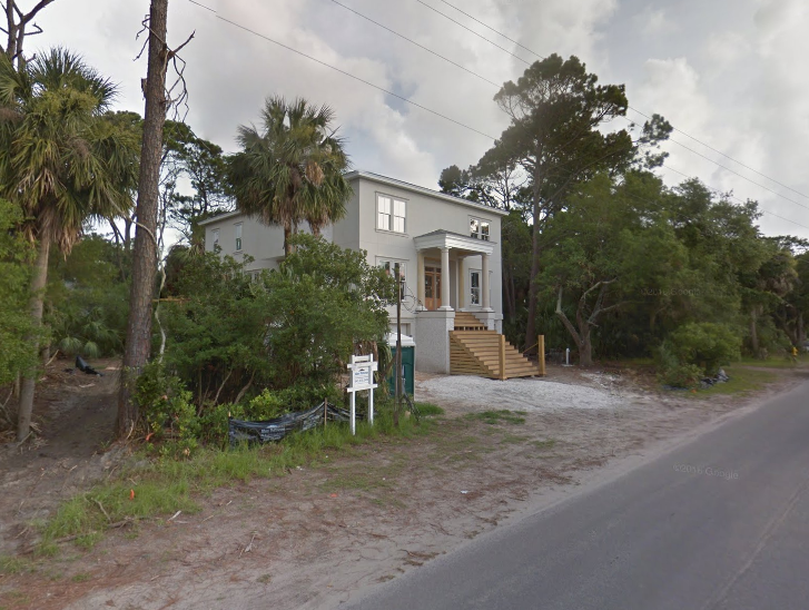
Fripp Island is my go-to when I crave beachfront serenity without the crowds. This barrier island boasts miles of unspoiled beaches and a commitment to preserving its natural habitats. Access is limited, which means the community here remains small and close-knit.
With around 900 residents, it’s a place where you can truly unwind. I’ve spent countless hours strolling the quiet shores, watching dolphins play in the surf and soaking in the peaceful ambiance that envelops the island.
Where is Fripp Island?
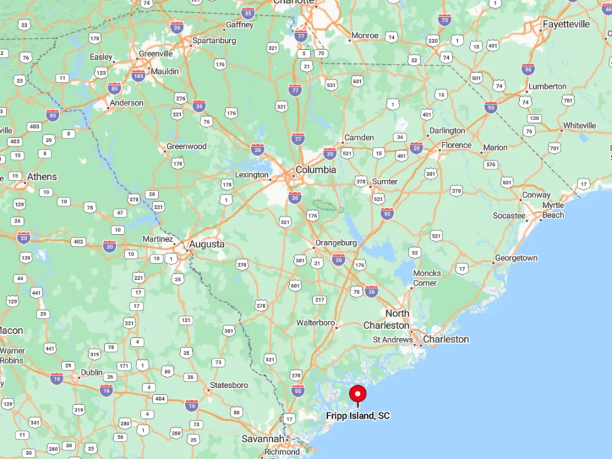
Fripp Island lies at the southern tip of Beaufort County, just south of Hunting Island State Park. To get there, I drive along U.S. Highway 21, passing through charming towns before reaching the island. Access is controlled via a security gate, enhancing its exclusivity and seclusion.
The island is bordered by the Atlantic Ocean and Fripp Inlet, providing stunning water views in every direction. It’s a destination that feels worlds away, even though it’s just a short drive from the mainland.
9. Dataw Island – Private Community in Nature’s Embrace
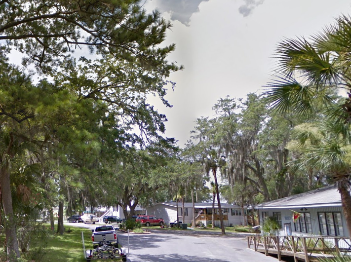
Dataw Island offers a blend of luxury and natural beauty that I find irresistible. This private community features spacious home sites nestled among golf courses and lush nature preserves. With a population of about 1,200 residents, it’s large enough for a sense of community but small enough to maintain its secluded feel.
I love how the island’s design emphasizes harmony with the environment, offering residents a peaceful lifestyle surrounded by the Lowcountry’s signature landscapes.
Where is Dataw Island?
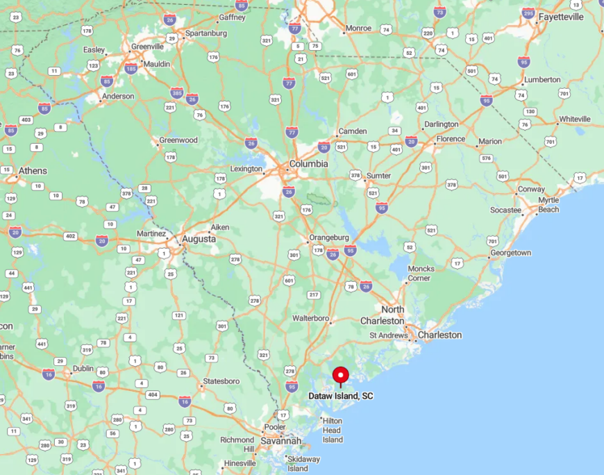
Situated just east of Beaufort, Dataw Island is accessible via Oak Island Road off U.S. Highway 21. The island sits along Jenkins Creek, offering serene water views and easy access to the Intracoastal Waterway. When I visit, I appreciate the drive over the causeway, where marsh grasses sway and birds soar overhead.
The geography here is quintessential coastal South Carolina, and the island’s thoughtful development ensures that its natural beauty remains front and center.
8. St. Helena Island – Cultural Heritage Meets Natural Seclusion
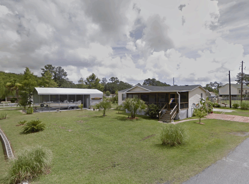
St. Helena Island is a place where cultural heritage and natural seclusion seamlessly blend. Known for its rich Gullah history, the island offers open landscapes and low-density housing that preserve its unique character. With approximately 8,700 residents spread across the island, it never feels crowded.
I enjoy exploring the quiet roads, visiting historic sites, and immersing myself in the stories that have shaped the community. It’s a place where the past is alive, and the present is peacefully slow-paced.
Where is St. Helena Island?
Located in Beaufort County, St. Helena Island is east of Beaufort and accessed via Sea Island Parkway (U.S. Highway 21). The island is surrounded by tidal creeks and marshes that make the scenery captivating. Every time I cross the bridge onto the island, I’m struck by the expansive views of the Lowcountry waterways.
Getting around is straightforward, but the island’s layout encourages a relaxed exploration of its hidden corners and cultural landmarks.
7. Coosaw Island – Expansive Properties and Abundant Wildlife
Coosaw Island is a haven for those who appreciate expansive properties and the wonders of wildlife. With dense forests and marshlands, it offers a rural ambiance that’s detached from urban developments. The population is minimal, with just a few hundred residents calling it home.
I often find myself captivated by the quietude here, where deer roam freely and birdsong fills the air. It’s the kind of place where you can truly escape and immerse yourself in the natural world.
Where is Coosaw Island?
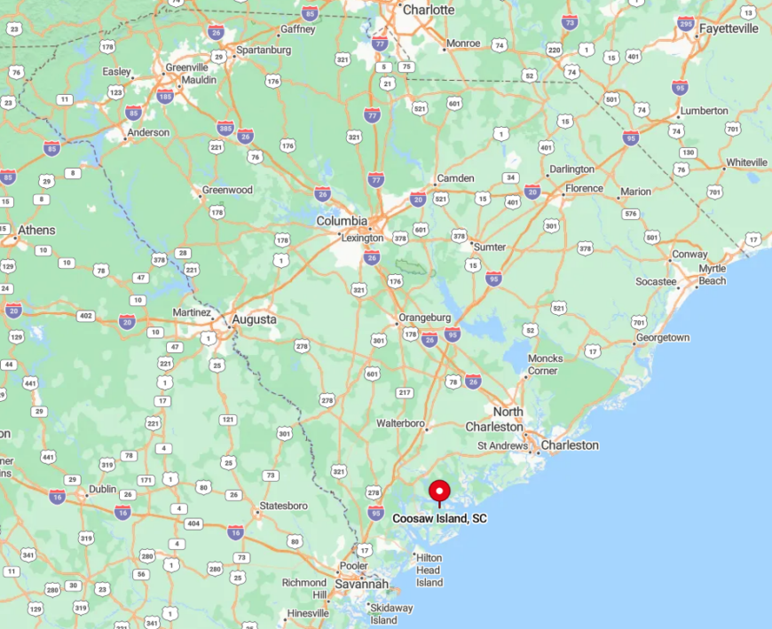
Set in Beaufort County, Coosaw Island is nestled between the Coosaw and Beaufort Rivers. To reach it, I take U.S. Highway 21 and then navigate through a series of local roads that wind through picturesque landscapes.
The island’s geography is characterized by its proximity to waterways, making it a paradise for kayakers and fishermen like myself. Its secluded location means that the journey there is as peaceful as the destination itself.
6. Cat Island – Quiet Marshland Retreat
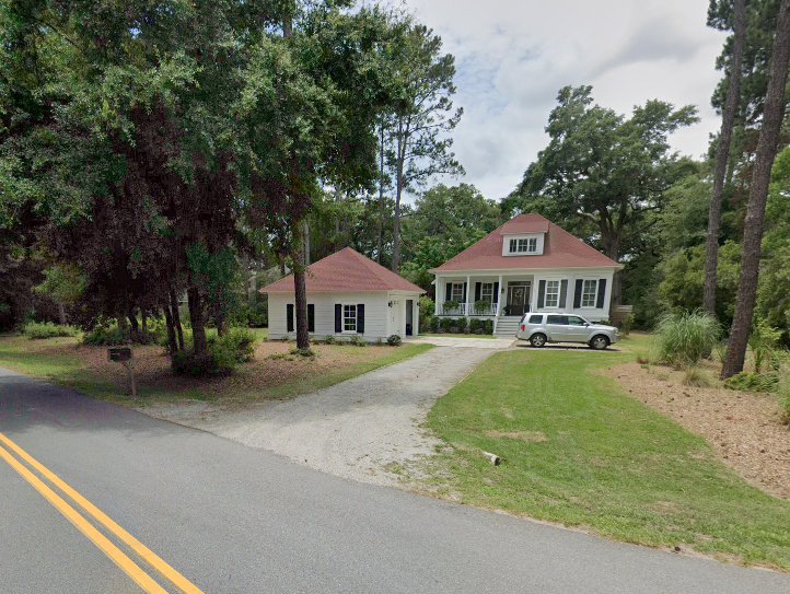
Cat Island offers a quiet retreat amidst the marshlands, a place where serenity is the norm. The island features large lots and serene waterways, giving residents ample space and privacy. With a small population, it’s easy to feel like you have this slice of paradise all to yourself.
I’ve spent many afternoons here, enjoying the gentle breezes and watching the ebb and flow of the tides. It’s an ideal spot for those who want to unwind away from the usual tourist spots.
Where is Cat Island?
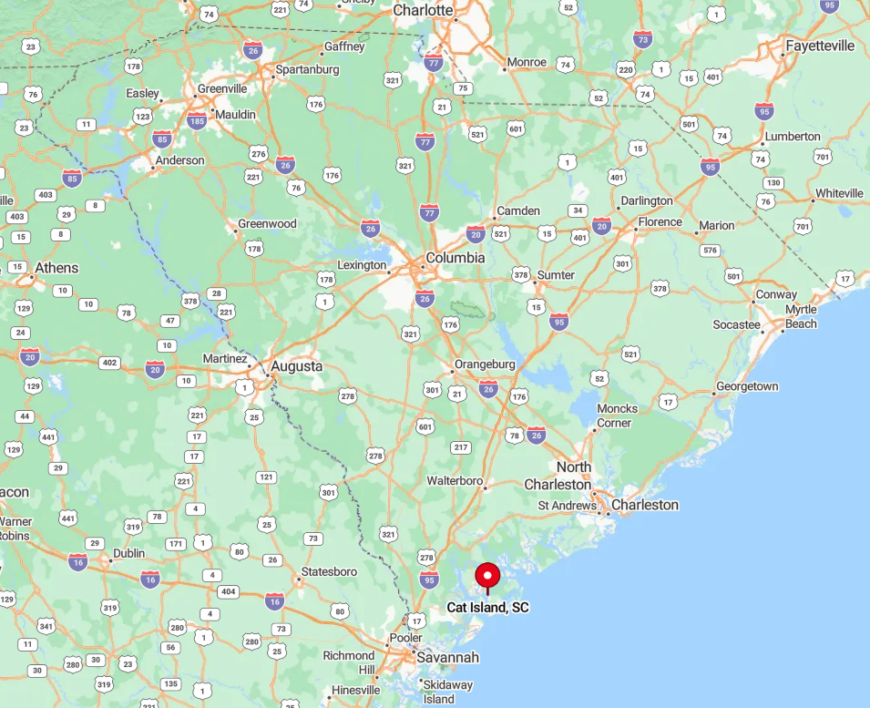
Located just south of Beaufort, Cat Island is accessible via Sams Point Road (State Road S-7-802). The island is bordered by Chowan Creek and Distant Island Creek, providing stunning water views at every turn. When I drive onto the island, I’m always struck by the peacefulness that envelops me.
The geography, with its mix of marshes and maritime forests, creates a tranquil environment that’s quintessentially Lowcountry.
5. Callawassie Island – Luxury Living in a Secluded Setting
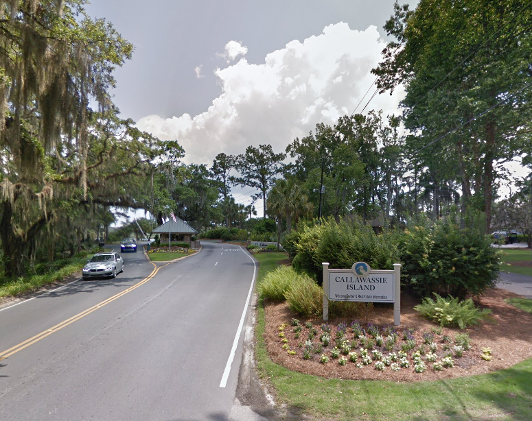
Callawassie Island combines the allure of luxury living with the charm of a secluded setting. This gated community features spacious homes nestled among marshlands and tidal creeks. With a population of around 700 residents, it offers an exclusive yet welcoming atmosphere.
I appreciate how the island balances high-end amenities with a profound respect for the natural environment. It’s a place where I can enjoy a round of golf in the morning and a peaceful kayak trip in the afternoon.
Where is Callawassie Island?
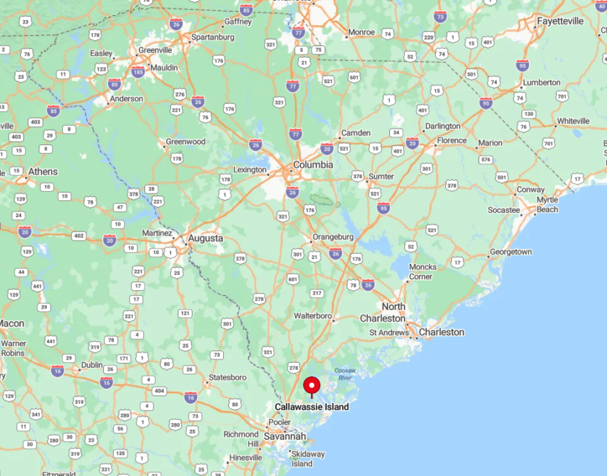
Situated between Beaufort and Hilton Head Island, Callawassie Island is accessible via a causeway off S.C. Highway 170. The drive over the Chechessee River is one of my favorites, offering panoramic views of the water and marshes.
The island’s geography, surrounded by the Okatie and Colleton Rivers, provides endless opportunities for boating and fishing. Its location offers seclusion without being too far from the conveniences of nearby towns.
4. Dewees Island – Off-the-Grid Living in Pristine Ecosystems
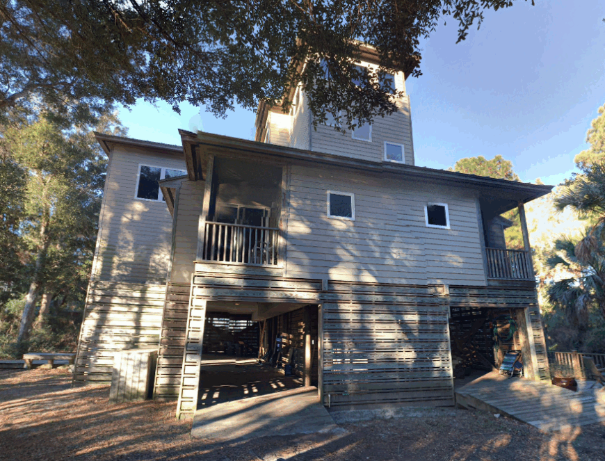
Dewees Island is truly a world apart, embracing off-the-grid living amidst pristine coastal ecosystems. With no cars and limited development, it’s a haven for wildlife and those seeking a minimalist lifestyle. The population here is tiny, with only about 30 full-time residents.
I find the absence of paved roads and the reliance on golf carts or walking refreshing. Each visit feels like a retreat into nature, where the sounds of the ocean and the calls of birds replace the din of modern life.
Where is Dewees Island?
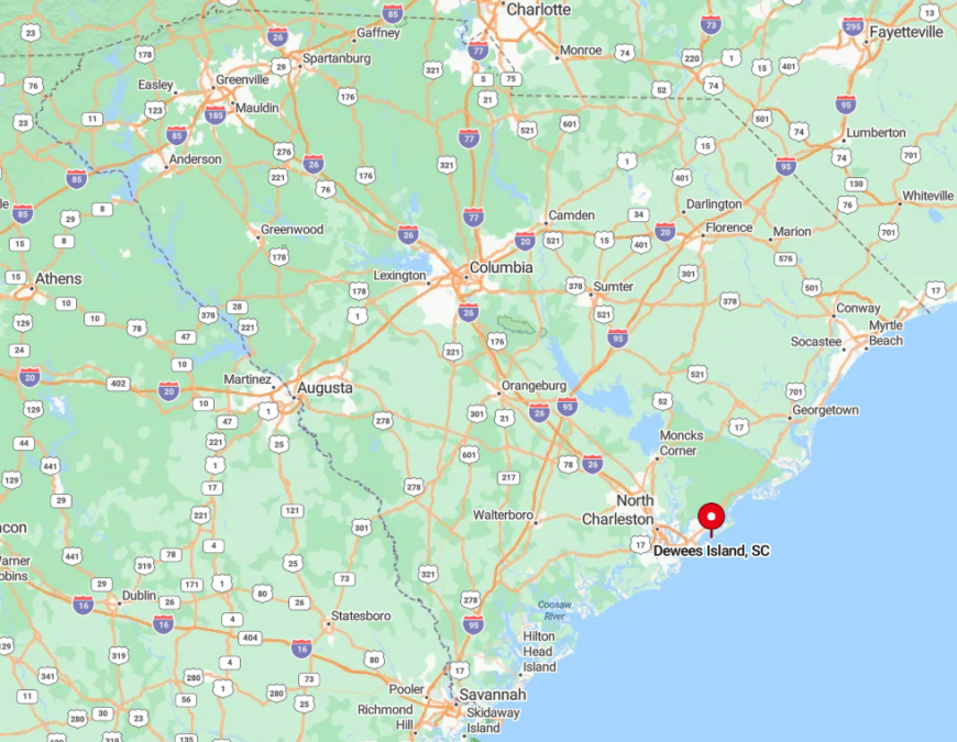
Just north of the Isle of Palms, Dewees Island is accessible only by ferry from Charleston’s Isle of Palms Marina. The 20-minute boat ride is one of my favorite parts of the journey, offering views of the Intracoastal Waterway and the surrounding marshes.
The island sits between the Atlantic Ocean and the Intracoastal, providing untouched beaches and maritime forests. Its isolation is part of its charm, making every arrival feel like a step into another world.
3. Wadmalaw Island – Rural Tranquility with Scenic Landscapes
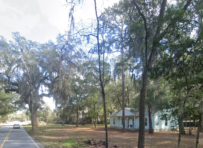
Wadmalaw Island captivates me with its rural tranquility and scenic landscapes. The island is dotted with spacious properties, small farms, and historic sites. With a population of around 2,600 people, it maintains a quiet, country feel.
I love visiting the local tea plantation and winery, both hidden gems that showcase the island’s unique offerings. It’s a place where you can savor the slower pace of life and immerse yourself in the natural beauty of the Lowcountry.
Where is Wadmalaw Island?
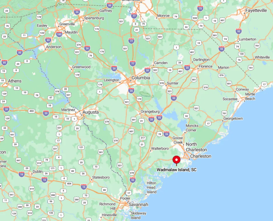
Located southwest of Charleston, Wadmalaw Island is accessible via Maybank Highway (State Road S-10-700). Crossing over Church Creek, I always enjoy the sweeping views of the marshes that signal my arrival.
The island is uniquely positioned between the Wadmalaw and North Edisto Rivers, enhancing its scenic appeal. Its relative remoteness keeps it preserved, offering a peaceful escape just a short drive from the city.
2. Spring Island – Exclusive Estates Amid Preserved Forests
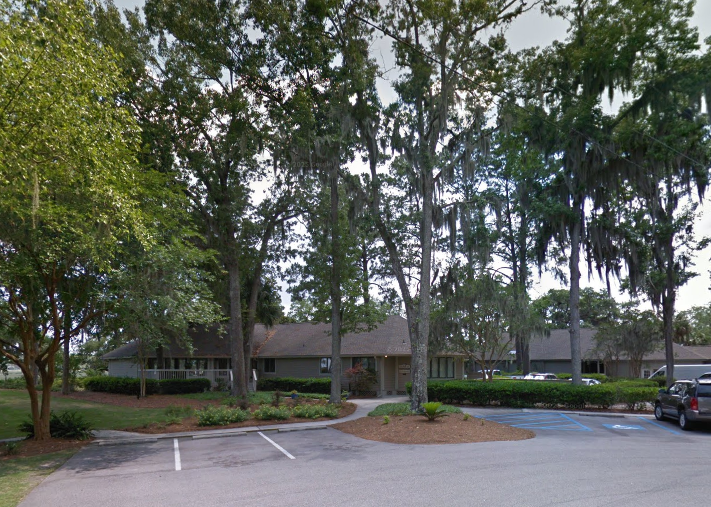
Spring Island is a sanctuary of exclusive estates set amid preserved forests and untouched land. With only about 400 residents, it’s a community that values privacy and a deep connection to nature. I admire how the development here emphasizes conservation, with vast areas left wild for future generations.
The island’s amenities, including golf and equestrian facilities, are top-notch yet harmoniously integrated into the landscape. It’s a place where luxury meets responsible stewardship.
Where is Spring Island?
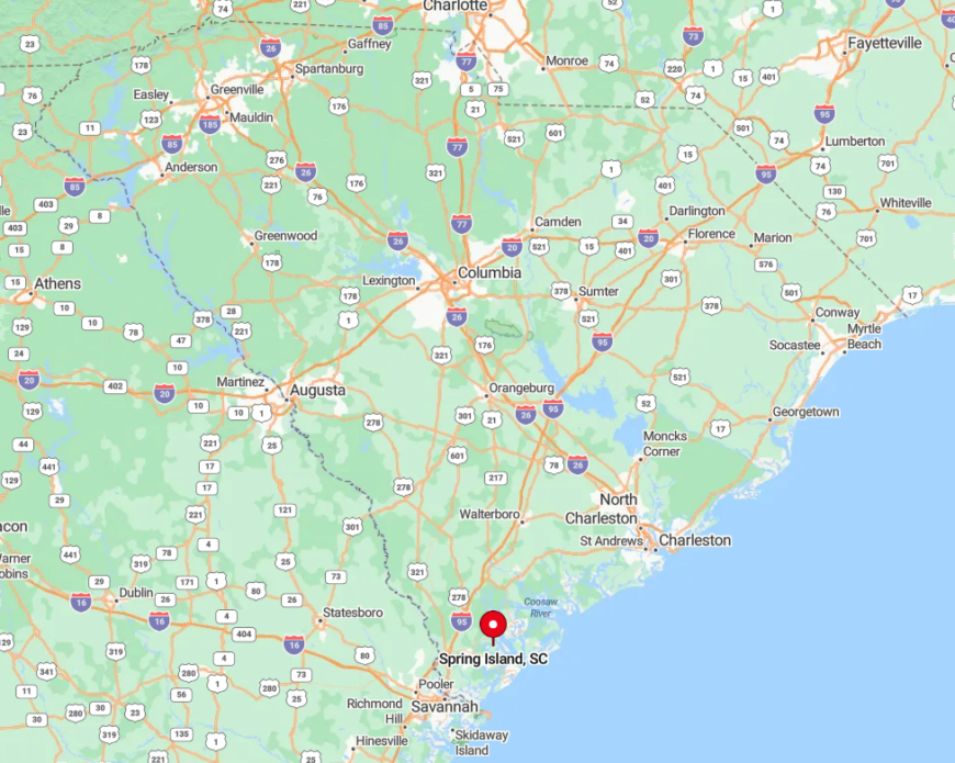
Spring Island is nestled in the heart of the Lowcountry, between Beaufort and Hilton Head Island. Accessible via S.C. Highway 170 and Callawassie Island Drive, the island is bordered by the Chechessee and Colleton Rivers. The drive onto the island takes me through canopies of live oaks and over calm waterways.
Its geography offers a rich tapestry of salt marshes, maritime forests, and tidal creeks, making it a haven for nature enthusiasts like myself.
1. Daufuskie Island – A Hidden Ferry-Accessed Paradise
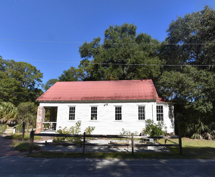
Daufuskie Island holds a special place in my heart as a hidden paradise that’s accessible only by ferry. This seclusion has preserved its large wooded lots and rich Gullah heritage. With a population of around 400 people, it feels like a world away from the mainland.
I relish the opportunity to explore its quiet roads by golf cart, visit the historic landmarks, and bask in the untouched natural beauty. Daufuskie is, to me, the epitome of Lowcountry charm and serenity.
Where is Daufuskie Island?
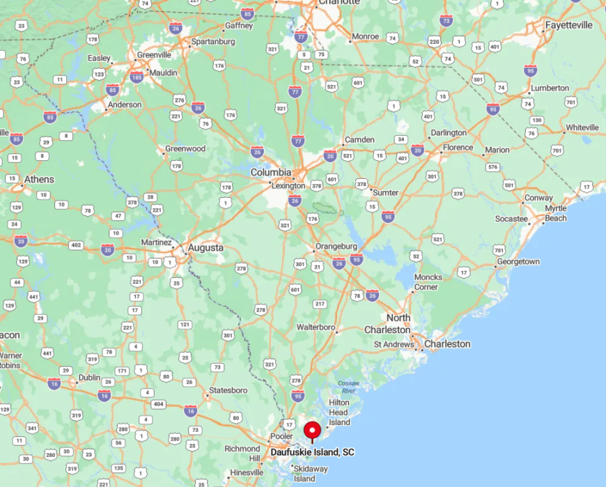
Sitting between Hilton Head Island and Savannah, Daufuskie Island is reached by ferry services departing from both locations. The journey across the Calibogue Sound is always a highlight, offering stunning views of the water and surrounding islands. Without bridges, the island remains unspoiled by overdevelopment.
Its geography includes pristine beaches, ancient oaks, and lush marshlands, making it a true gem for those seeking an authentic and secluded experience.