
GIS expert Nisreen Mahmoud uses open mapping to support Sudan’s recovery from exile, empowering communities through data, trust, and resilience.
When conflict forced Nisreen Mahmoud to leave Khartoum, she carried with her not only memories but a deep commitment to rebuilding what was left behind. Now based in Egypt, she continues to support her community using what she knows best: mapping.
“Being involved in open mapping has allowed me to support people still in Sudan, my relatives, my neighbors, my friends. If I can contribute to maps that help with reconstruction or rehabilitation, I’m happy to do it.”
A seasoned geographic information systems (GIS) engineer with more than 18 years of experience, Nisreen has worked in construction, government ministries, and humanitarian projects. She studied survey engineering and holds a master’s degree in GIS and remote sensing. Her path into geospatial work was anything but accidental: “From an early age, I liked geography as a school subject. Later, when I studied engineering, I discovered a passion for mapping.”
We connected virtually, she was speaking from Egypt, and I was in Mexico, after several colleagues at HOT told me her story was one that needed to be shared. That’s how we began talking about her first encounters with OpenStreetMap.
Her first steps into OpenStreetMap
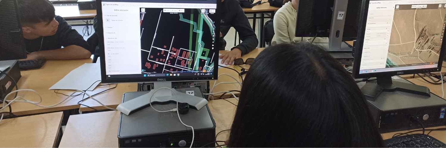
Nisreen first came across OpenStreetMap (OSM) during her master’s thesis. “We sometimes used it as a basemap to fill gaps in our missing data,” she recalls.
But her real turning point came at the World Urban Forum in Cairo in 2024, where she met Pete Masters from the Humanitarian OpenStreetMap Team (HOT). “He told me about HOT and introduced me to Geoffrey Kateregga, and everything clicked,” she remembers.
That brief but pivotal conversation opened the door to her future role at HOT. At the time, she had just begun working remotely with Kuyua, rebuilding her career after displacement and looking for ways to stay connected with Sudan. Pete immediately recognized her passion and potential, encouraging her to dive deeper into humanitarian open mapping. That moment marked the start of her journey, from volunteer to project contributor to community leader.
Sudan’s data infrastructure had collapsed. “We lost our data and servers” she explains, and OSM became not only a resource, but a tool for recovery. “I always advise my colleagues and friends, especially those working on BSc [Bachelor of Science]or MSc [Master of Science] projects, to use OSM.”
Khartoum Reconstruction Initiative
The Khartoum Reconstruction Initiative (KRI) was launched on 22 May 2023, through the invitation by Engineer Abubakr Sami to all Sudanese to scramble to rebuild what was left behind by the war and to highlight their positive role towards their country.
This initiative is a voluntary initiative that aims to rebuild what was destroyed by the war in Sudan and restore smiles, safety, and dignity to affected people through a group of volunteers of different ages and experiences, united by love for Sudan and its people, and who believe in the value of giving and responsibility.
When Nisreen joined KRI, what began as a WhatsApp network of Sudanese professionals has since grown into a decentralized, grassroots effort with over 5000 volunteer members. It includes more than ten thematic sectors, from health and education to engineering, infrastructure, urban planning, and GIS.
“We first focused on reconstructing Khartoum and then other parts of the country,” Nisreen explained. “We grouped people by specialization, some in Surveying, some in GIS, some in remote sensing, some in project management. We started small pilot projects to structure data, teamwork, and project design. The members have varied expertise; some are students, some have international experience.”
Nisreen leads the GIS, remote sensing, and surveying subsector with over 600 volunteer members. One of their key challenges has been the lack of recent satellite imagery and the destruction of base maps. “In the past few months, we’ve faced challenges with satellite imagery for damage assessments,” she said. “We plan to divide tasks into groups with specific goals. The main goal now is to reopen health centers and hospitals and restore electricity and water supply so people can return to Khartoum and resume life as before.”
H2H Sudan
In 2024, Nisreen joined HOT as a data analyst on the H2H Network Activation: Conflict in Sudan, aimed at supporting humanitarian response in Sudan by improving geospatial data quality and accessibility. With her deep knowledge of Khartoum’s geography, she became a key expert for validating and updating district-level data.
She didn’t work alone. Nisreen mobilized six Sudanese cartographers to join the effort. “They worked on digitizing and mapping with the [HOT] Tasking Manager. Another two people joined to learn ID Editor and other tools. I acted as a supervisor until we completed the mission.”
Beyond mapping, she took the lead on training and quality assurance. She coordinated weekly mapathons, mentored new contributors, and made sure translations respected local linguistic nuances. Her leadership helped boost local engagement and brought global visibility to Sudan’s mapping needs. “I’m proud of many things, but especially being included in the final report review. It was my first time contributing to a report like that. I already knew mapping, but learning how to document and communicate it was new and very rewarding.” You can read more about the project here.
Navigating Conflict, Gender, and Data Ethics
As a woman in GIS, Nisreen has faced challenges. “In many Arab countries, people think women can’t handle problems or find solutions. But that just motivated me to get more involved and prove otherwise through critical thinking.”
She’s also worked to address concerns around data ethics in times of conflict. “Many people in Sudan, especially the older generation, don’t trust platforms or organizations. Some fear using or sharing maps during a crisis.”
Together with HOT, she helped host webinars to clarify how data is used and how safety is ensured. “We emphasized that OSM is an open platform for everyone. Much of the data is already visible in satellite imagery. Without maps, it’s difficult to know how many people are affected or where help is needed.”
As Nisreen highlighted, we need to build trust and show how contributing to these maps supports aid delivery, tracks displacement, and helps allocate resources.
A Vision for OSM Sudan
In June 2025, Nisreen was selected as a voting member of HOT, joining the group that helps shape the organization’s governance. It’s a position of trust and responsibility, with the ability to influence HOT’s strategic direction. She is the first voting member from Sudan.
Nisreen’s next dream is to establish a national OSM Sudan community. “If I could talk with people from other countries who’ve started OSM communities, it would help me learn how to do it better.”
She hopes to use her current part-time work schedule to lay the foundation, training young mappers, building a national network, and advocating for open data. “OSM is more than a map. It’s how we reclaim our places, even from exile.”