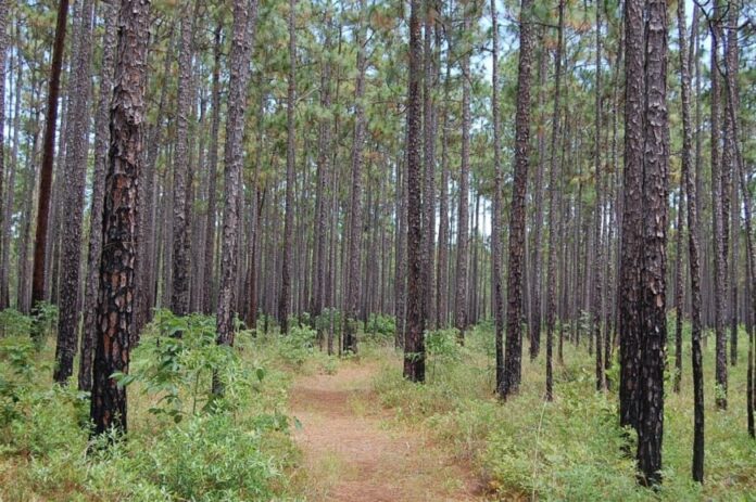
Sometimes, I find that the best way to unwind is to escape to a place where time moves a bit slower, and the Eastern South Carolina Lowcountry is filled with hidden gems that offer just that.
From quaint fishing villages to tiny hamlets immersed in nature, this region is dotted with towns that provide the perfect retreat from the hustle and bustle of city life. As someone who loves discovering off-the-beaten-path destinations, I’ve compiled a list of 25 secluded towns that capture the essence of peace and tranquility.
Each one offers its own unique charm, surrounded by the natural beauty of forests, rivers, and farmlands. Join me as we count down these serene spots where you can truly get away from it all and experience the quiet side of the Lowcountry.
25. Daufuskie Island: Boat-Only Calm Between Marsh and Sea
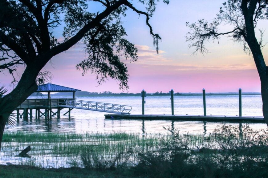
Daufuskie Island feels like a secret written in tide lines and palmetto shade—no bridge, no hurry, just sand roads and the rustle of live oaks. Its seclusion is literal: the only way in is by boat, which keeps crowds at bay and nights star-bright.
💼🏠 When the CEO of the biggest real estate brokerage on the planet speaks about buying or selling, it’s worth listening. Hear what Robert Refkin has to say.
The vibe is salt-soaked and storied, shaped by Gullah heritage, weathered cottages, and porches that listen to the water. Kayak quiet creeks, beachcomb for whelks at low tide, tour historic schoolhouses, or browse artists’ studios tucked beneath moss-draped limbs.
Golf carts putter where cars don’t, and small-scale tourism, charter fishing, and crafts carry the week. Even the wind seems to speak softer here. It’s the kind of place that reminds you how quiet the world can be.
Where is Daufuskie Island?
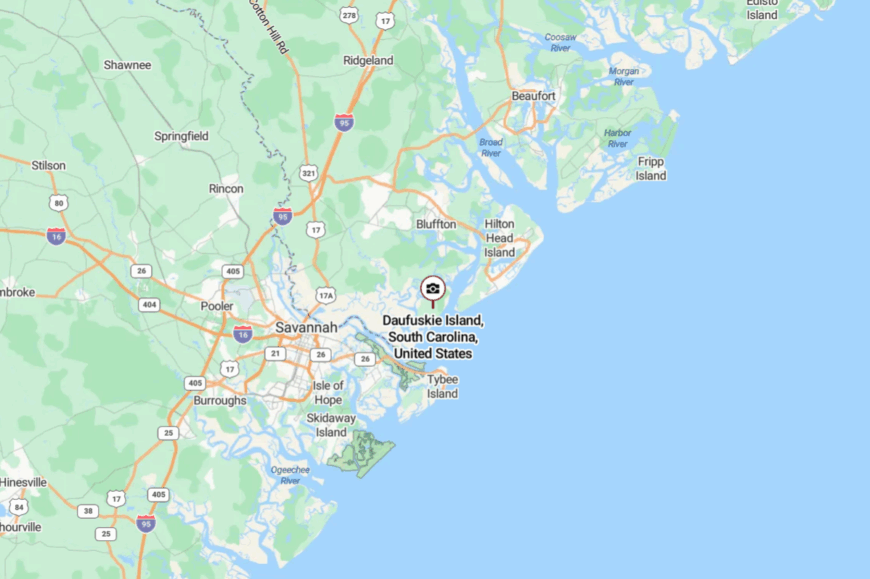
Tucked into South Carolina’s far southeastern corner, Daufuskie sits between Hilton Head Island and Savannah across Calibogue Sound. It’s roughly 45–60 minutes from Bluffton or Hilton Head by ferry or water taxi.
You reach it by driving to a mainland dock, parking, and crossing the water—no highways intrude. Close to the coast, yet the last miles by boat make it feel blissfully far away.
24. Rockville: End-of-the-Road Porches on Bohicket Creek
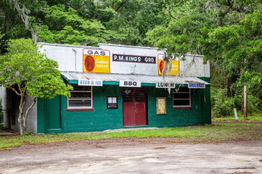
Rockville rests at the quiet edge of Wadmalaw, an old waterfront village where sail masts click in a sleepy breeze. Seclusion comes from geography and tradition: a tiny footprint at the end of a peninsula, few businesses, and roads that simply stop at the creek.
The vibe is timeworn and gracious—piazzas, regatta lore, and Saturday afternoons that feel like postcards. Watch shrimp boats idle past, photograph Greek Revival cottages, cast for redfish on a slack tide, or time a visit with the storied Rockville Regatta.
A little boating, a little oyster work, and a lot of neighborly looking-out anchor life. Twilight paints the creek copper and hushes the day. It’s close to everything and somehow apart from it.
Where is Rockville?
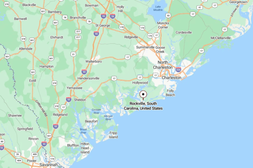
In southern Charleston County, Rockville sits at the end of Wadmalaw Island on Bohicket Creek, about 30 miles southwest of downtown Charleston. You’ll follow Maybank
Highway (SC-700) onto Wadmalaw and then narrower lanes to the water’s edge. There’s no through traffic—only endings and water. It’s close enough for a day trip, far enough to leave the clock in the car.
23. Wadmalaw Island: Fields, Tides, and Long, Quiet Lanes
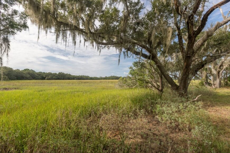
Wadmalaw Island feels like a green quilt—tea rows, vineyards, vegetable fields, and forests stitched together by sandy, shaded roads. Its seclusion holds because commercial sprawl never made it across the marsh, and the island’s waterways act like a gentle moat.
The mood is earthy and unhurried: farmstands, church suppers, and birdsong under cathedral oaks. Sip at Deep Water Vineyard, tour the Charleston Tea Garden, paddle tidal creeks, or watch roseate spoonbills feed in the shallows.
Agriculture and small-scale tourism share the week without breaking the calm. Even the air tastes fresher out here. It’s where slow living still feels natural.
Where is Wadmalaw Island?
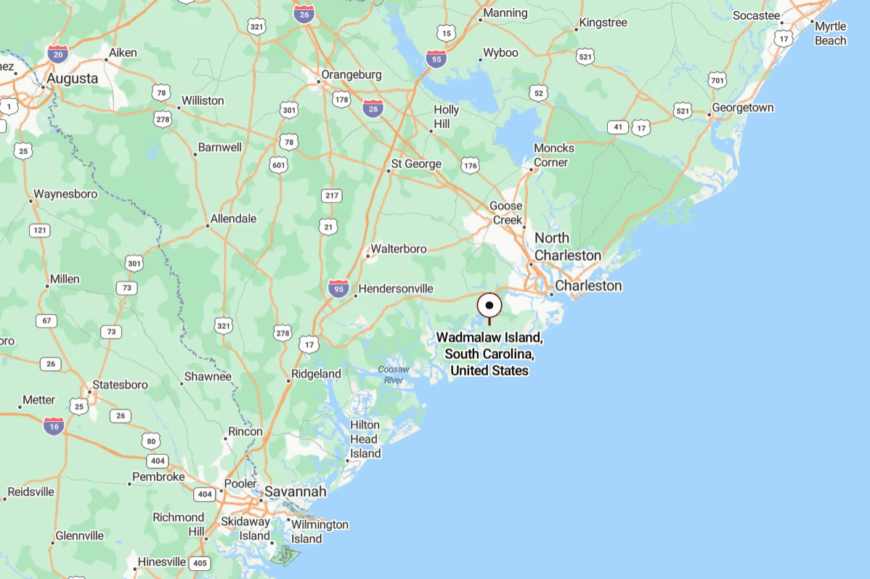
Southwest of Charleston in the Lowcountry, Wadmalaw lies between the Edisto and Stono rivers. It’s about 25–35 miles from downtown via SC-700 and local island roads.
Bridges take you over marsh and river, then the lanes narrow beneath trees. You’ll know you’ve arrived when the marsh silence settles in.
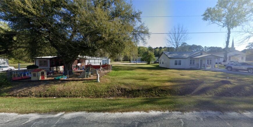
22. Meggett: Marsh-Fringed Stillness on Toogoodoo Creek
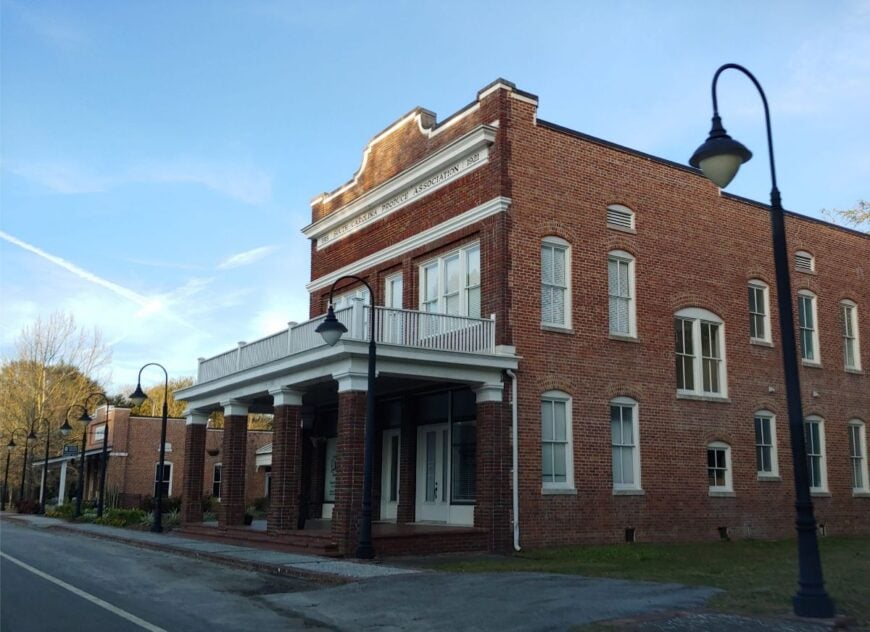
Meggett is a small town wrapped in spartina and sky, where breezes carry the faint clink of halyards and the scent of pluff mud. Seclusion comes from big tidal flats, conservation lands, and a network of backroads that keep life local.
The vibe is waterwise and neighborly—dock lights, garden plots, and the steady rhythm of tides. Birdwatch along the ACE Basin edges, launch a kayak on Toogoodoo Creek, shuck oysters on a chilly evening, or bike shady lanes that end at the water.
Fishing, small trades, and weekend boatyards keep the town humming softly. Nights are moonlit and full of frogsong. It’s the sort of quiet that gets under your skin in the best way.
Where is Meggett?
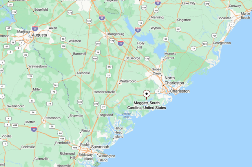
Meggett sits in southwestern Charleston County near the ACE Basin, about 30 miles from Charleston. Reach it via SC-165 or SC-162, then take slower local roads along creeks and marsh.
There are no fast cut-throughs—just water and winding lanes. It’s close enough for groceries, far enough for stars.
21. Yonges Island: Working-Waterfront Whispers by Wadmalaw Sound
Yonges Island keeps its head down and its boats busy, a small community of docks, sheds, and salt air where the days follow the tide charts. Its tucked-away feel comes from dead-end roads and the shelter of creeks that isolate it from resort traffic.
The mood is practical and salty: weathered pilings, shrimp nets drying in the sun, and herons posted like sentries. Walk the shore at low tide, buy shrimp off the boat in season, watch dolphins play in the sound, or trace oak tunnels toward quiet chapels.
Maritime work and small processors share space with porches and gardens. Even silence smells like salt here. It’s a good place to remember simple things.
Where is Yonges Island?
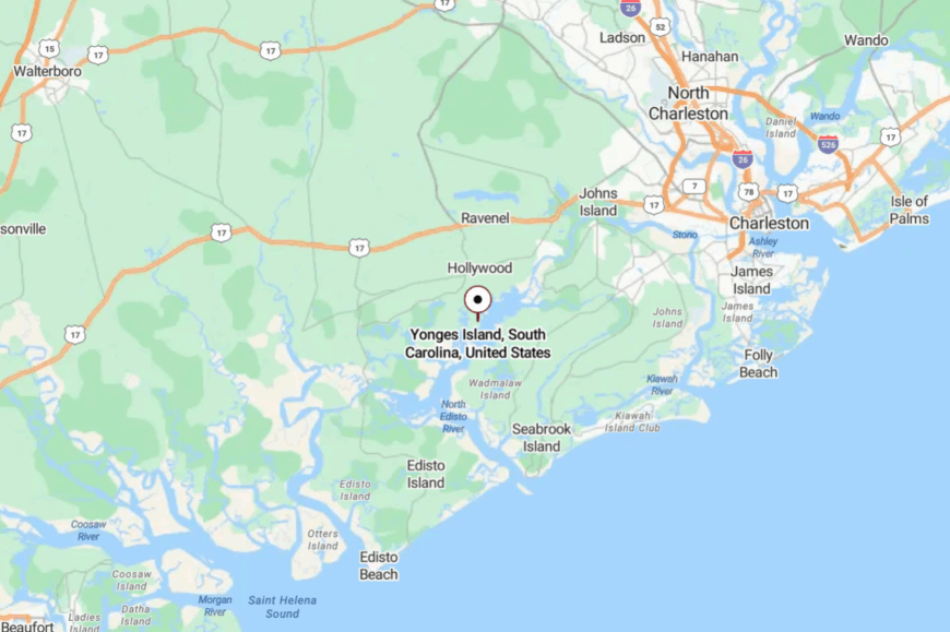
On the southwest edge of Charleston County, Yonges Island sits across Wadmalaw Sound from Edisto Island. It’s roughly 35 miles from Charleston via SC-162 and local spurs.
The last miles end at water on three sides, with no reason to hurry. When the pavement narrows and the marsh widens, you’re close.
20. Pineville: Lake-Country Stillness Under Longleaf Pines
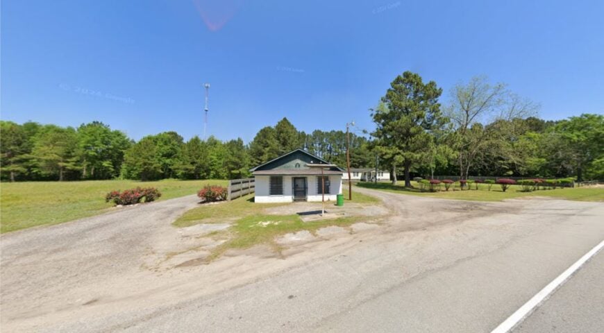
Pineville feels like a pause button near Lake Moultrie—straight pines, sandy lanes, and porches catching the afternoon shade. Seclusion stems from a scatter of homesteads, forest buffers, and the lack of any big draw but the lake itself.
The vibe is pine-scented and practical: jon boats on trailers, coolers clacking, and friendly waves from passing trucks. Fish for crappie and catfish, picnic at quiet landings, scan the sky for bald eagles, or visit historic churchyards with mossy stones.
Weekdays run on forestry, guiding, and lake life. Even the wind seems to slow down in the needles. It’s where weekends stretch like summer.
Where is Pineville?
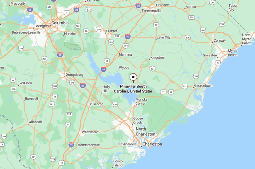
In northern Berkeley County, Pineville sits just east of Lake Marion and north of Lake Moultrie, about 55 miles north of Charleston. Access is via SC-45 or SC-402 through forests and farmland.
The final approach trades towns for water and trees. It’s close enough for a day on the lake, far enough to hear only the ospreys.
19. St. Stephen: Santee River Edges and Forest Shade
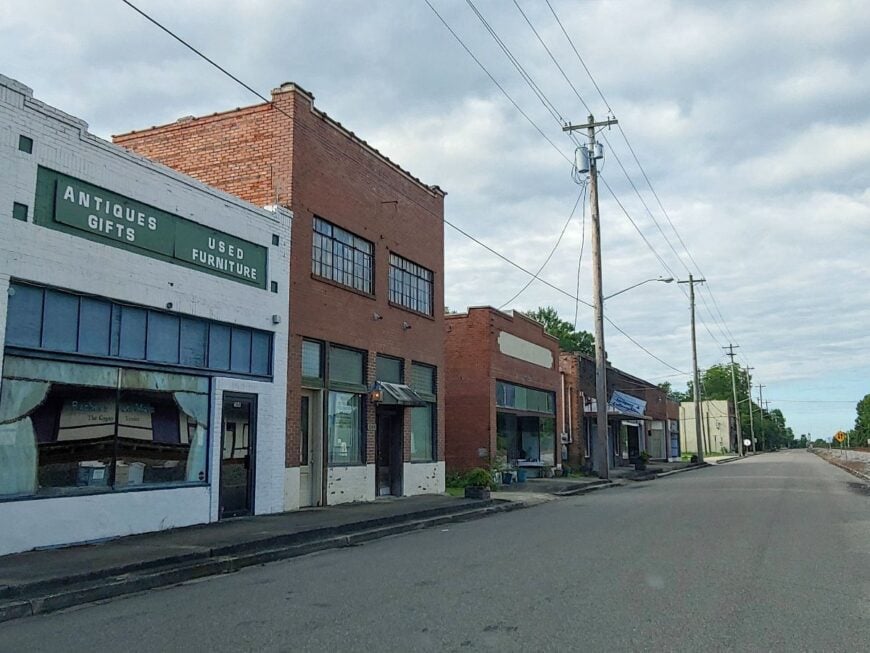
St. Stephen is a quiet bend in the week, hemmed by the Santee River and the green depths of Francis Marion National Forest. Its seclusion comes from those wild buffers and an old grid of streets that never learned to hurry.
The vibe is small-town plainspoken—screen doors, sweet tea, and neighbors who know whose boat is whose. Paddle blackwater creeks, hike pine trails that smell like sun-warmed resin, cast for bream at dawn, or visit the historic depot on a sleepy afternoon.
Forestry, farming, and a little lake traffic keep the rhythm steady. Nights trade traffic noise for tree frogs. It’s the kind of town that lowers your shoulders.
Where is St. Stephen?
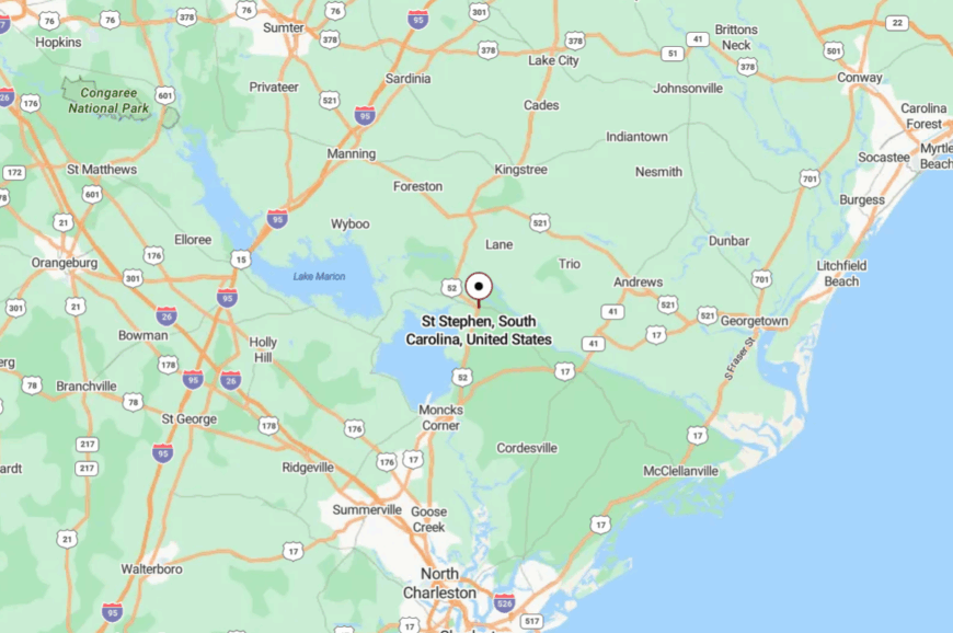
Northeast of Charleston in Berkeley County, St. Stephen sits near the Santee River about 60 miles from the city. You reach it via US-52 or SC-45, with long stretches lined in pine.
The national forest narrows the world to trees and sky. By the time you roll in, you’re already breathing easier.
18. Huger: Forest-Gate Hamlet by Wambaw Creeks
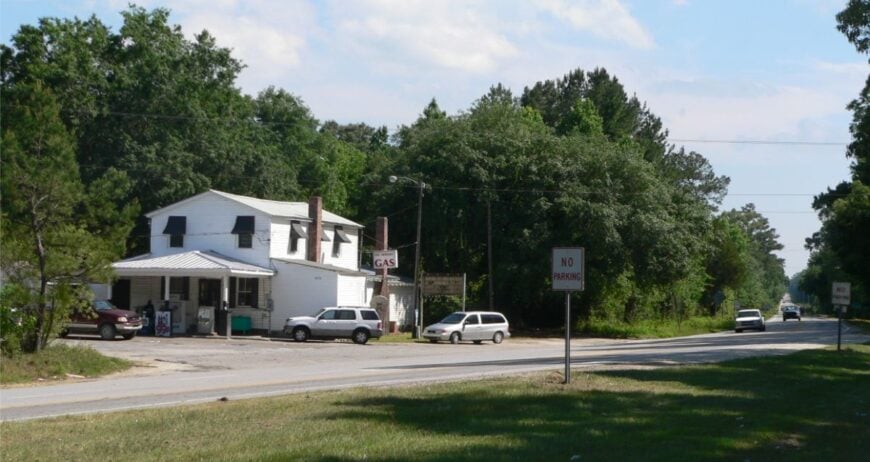
Huger feels like a doorstep to deep woods—few storefronts, long drives, and pines that lean in close. Seclusion comes from its position inside the arc of Francis Marion National Forest and miles of sandy roads that slip away from pavement.
The mood is woodsmoke and whip-poor-will, with pickups dusted in forest road sand. Hike or bike forest loops, spot red-cockaded woodpeckers in longleaf stands, paddle tannin-stained creeks, or visit rice-river ruins hidden under cypress shade.
Forestry, guiding, and trades tied to the land anchor the week. Even midday sun feels filtered through green. It’s the hush on the edge of wild country.
Where is Huger?
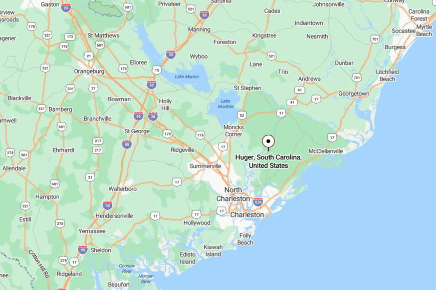
Huger sits in eastern Berkeley County along SC-41, roughly 25 miles north of Mount Pleasant. Turnoffs lead quickly into national forest corridors.
The highway thins to two lanes, and the trees get taller. It’s near the coast on a map, but the forest makes it feel far away.
17. Pinopolis: Breezy Bluff Above Lake Moultrie
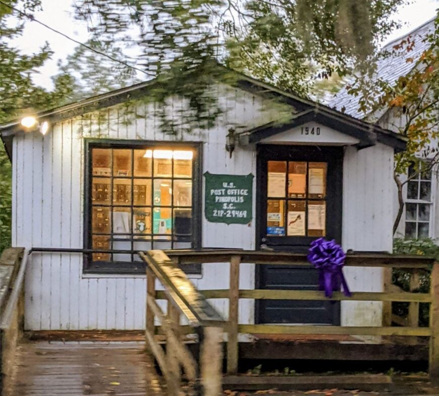
Pinopolis perches on a high finger of land in Lake Moultrie, a historic hamlet where porches catch steady wind and afternoons drift by in lake light. Seclusion springs from water on three sides and a single road that keeps things quiet by default.
The vibe is gracious and breezy: white clapboard, hydrangea shade, and bikes leaning against picket fences. Walk the historic district, launch a kayak at dawn, fish the lake’s edges, or linger on a bench when the sunset turns the water to copper.
A mix of retirees, commuters, and lake folk share the pace. The wind does most of the talking. It’s a small high place where time takes its time.
Where is Pinopolis?
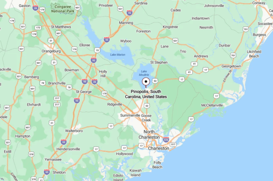
In central Berkeley County, Pinopolis juts into Lake Moultrie about 45 miles north of Charleston. Reach it from US-52 through Moncks Corner, then follow Pinopolis Road to the bluff.
The peninsular setting limits traffic to locals and visitors. It’s easy to find—and easier to stay awhile.
16. Plantersville: Rice-River Silence Along the Waccamaw

Plantersville sits back from the highway among old rice fields and live oaks, a river community where tides still write the day. Its seclusion owes to the Waccamaw’s winding course, vast tracts of former plantations, and roads that prefer to end at water.
The vibe is historic and hushed—tabby ruins, church steeples, and egrets hunting along the reeds. Tour quiet chapel grounds, paddle blackwater braids, walk oak allees where history lingers, or listen for owls after dark.
Small farms, conservation work, and heritage tours share the week. Here, the river teaches patience. It’s a place that moves to the soft pull of the tide.
Where is Plantersville?
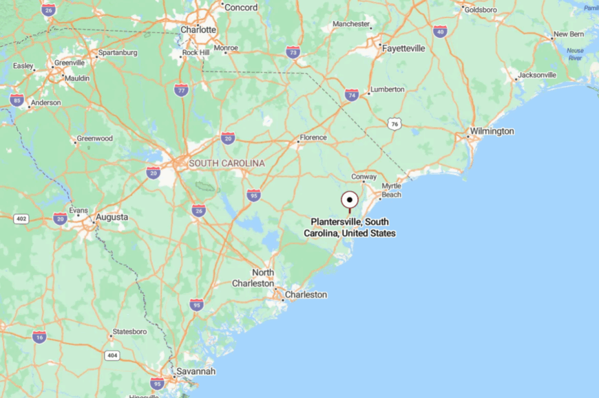
In western Georgetown County, Plantersville lies along the Waccamaw River about 15 miles from the city of Georgetown. US-701 brings you close before smaller roads drift toward the water.
Marsh and forest create a green buffer around the community. It’s close enough for groceries, yet wrapped in its own quiet.
15. Bucksport: River-Meeting Village at the Edge of the Marsh
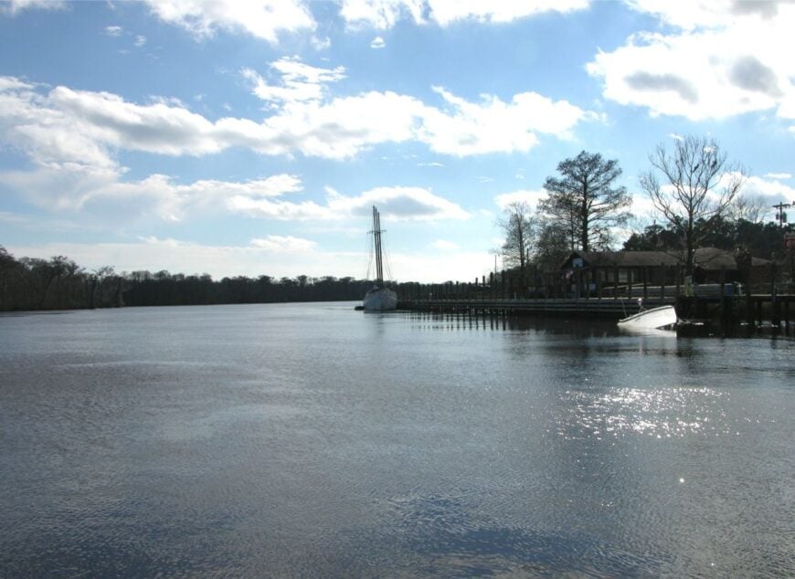
Bucksport feels like a front-row seat to the Lowcountry’s great confluence, where the Waccamaw and Pee Dee rivers mingle and slow. Seclusion arrives with the river bends and the dead-end roads that follow them.
The vibe is working-water calm—marina chatter, crab pots, and the slap of small waves against pilings. Launch from the marina, follow the Intracoastal’s quieter reaches, watch osprey hover over tea-colored water, or grab a plate of shrimp at a local dockside spot.
River trades and weekend boaters make a gentle hum in the place. Even the horizon seems to exhale here. It’s where water keeps time and people listen.
Where is Bucksport?
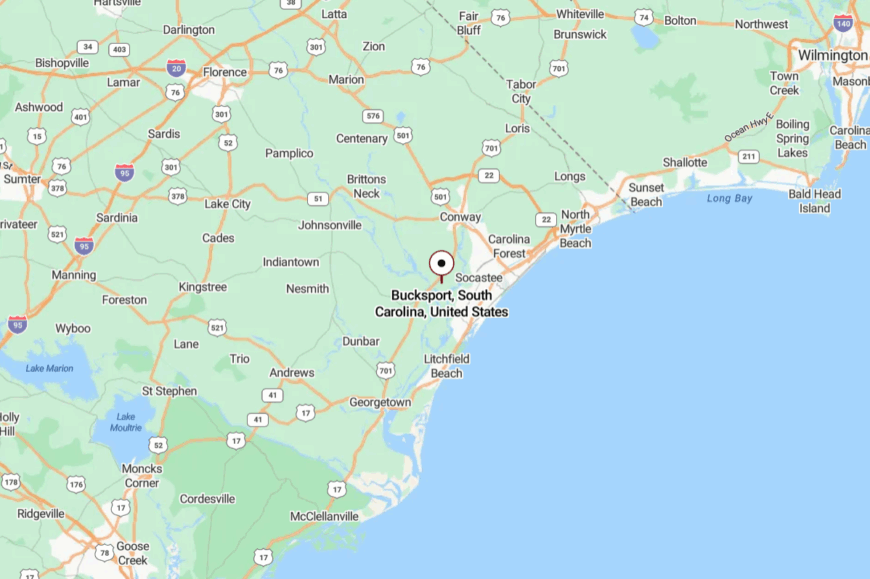
Southwest of Conway in Horry County, Bucksport sits near the Intracoastal Waterway about 25 miles inland from the beach strip. Access comes via US-701 and Bucksport Road, which dead-ends at the river.
There’s nowhere to pass through—only to arrive. The last mile is water, sky, and a sense of letting go.
14. Sandy Island: Tannin Creeks and Gullah Quiet
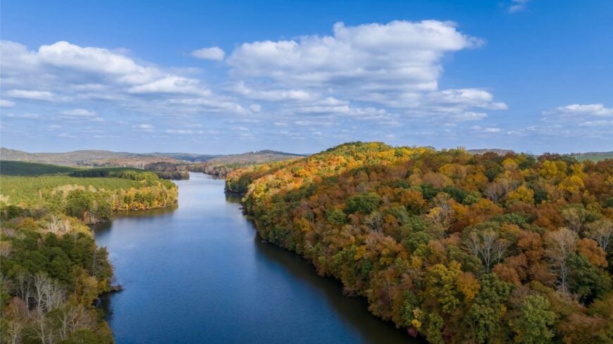
Sandy Island is all river edges and longleaf, reachable only by boat and faithful to its Gullah roots. Its seclusion is complete—no bridge, few roads, and wetlands guarding every approach.
The vibe is deeply rooted and nature-steeped: church hats on Sunday, cicadas at noon, and sand tracks under towering pines. Arrange a boat shuttle, birdwatch among rare longleaf habitats, paddle creeks as dark as tea, or learn local history from residents who’ve tended it for generations.
Livelihoods tie to conservation, heritage, and careful guiding. The island keeps its own pace and asks visitors to match it. It’s a whisper of the Lowcountry you won’t forget.
Where is Sandy Island?
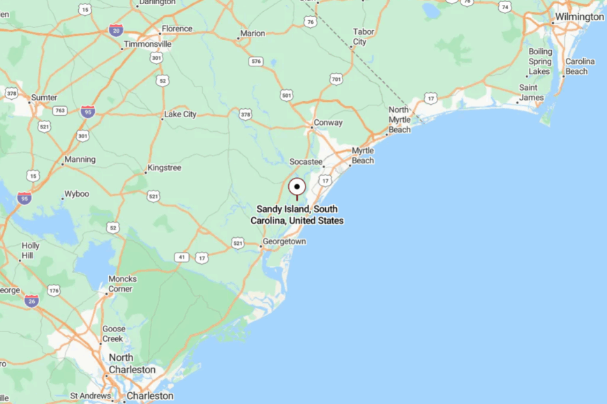
Between Georgetown and Murrells Inlet in Georgetown County, Sandy Island rises between the Waccamaw and Great Pee Dee rivers. The nearest launches sit off US-17 and nearby landings; the rest are by boat.
Water and marsh make a natural moat around the community. Close to resorts in miles, worlds away in mood.
13. Centenary: Field-Edge Porches and Sunday-Slow Streets
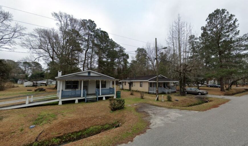
Centenary is a slip of a village tucked into Marion County’s patchwork of corn and tobacco fields. Its seclusion comes from the long distances between things out here—more fence line than storefront, more sky than schedule.
The vibe is front-porch friendly: dogs doze in the shade, and tractors set the day’s slow metronome. Walk the grid at golden hour, watch hawks work the thermals, detour to the Little Pee Dee for a quiet paddle, or time a church supper in a neighboring town.
Farming is the backbone and the heartbeat. When dusk falls, you hear crickets before you hear cars. It’s a small place that leaves a big room for calm.
Where is Centenary?
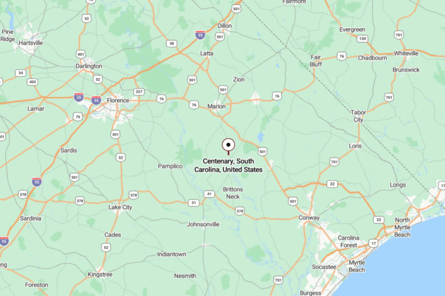
Centenary sits in southern Marion County along US-76, about 10 miles west of Mullins and 35 miles inland from Myrtle Beach. You’ll turn off the highway onto slower streets in just a few blinks.
Fields and windbreaks frame every approach. It’s easy to miss—and that’s part of the charm.
12. Paxville: Pines, Pasture, and a One-Stop Kind of Quiet
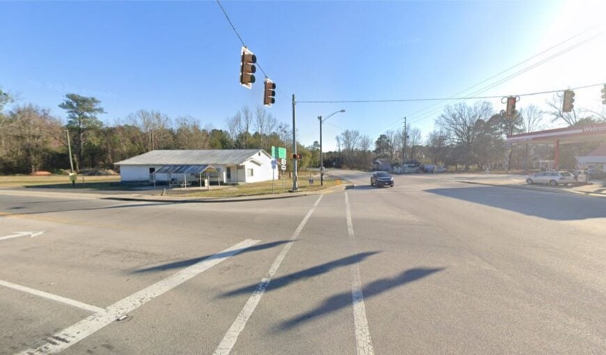
Paxville keeps life simple on a short stretch of US-261—pine stands, pasture, and a handful of streets that feel like an old photograph. Seclusion comes from small size and the long, rural buffers that separate it from busier towns.
The vibe is everyday gentle: a hardware bell, screen doors, and the smell of cut grass on Saturday. Drive shaded loops toward the Pocotaligo Swamp, cast for bream in farm ponds with permission, bike quiet shoulders at sunrise, or visit nearby Santee refuges for birds.
Agriculture and short commutes share the week’s work. The slow here feels built in, not borrowed. It’s a fine place to hear yourself think.
Where is Paxville?
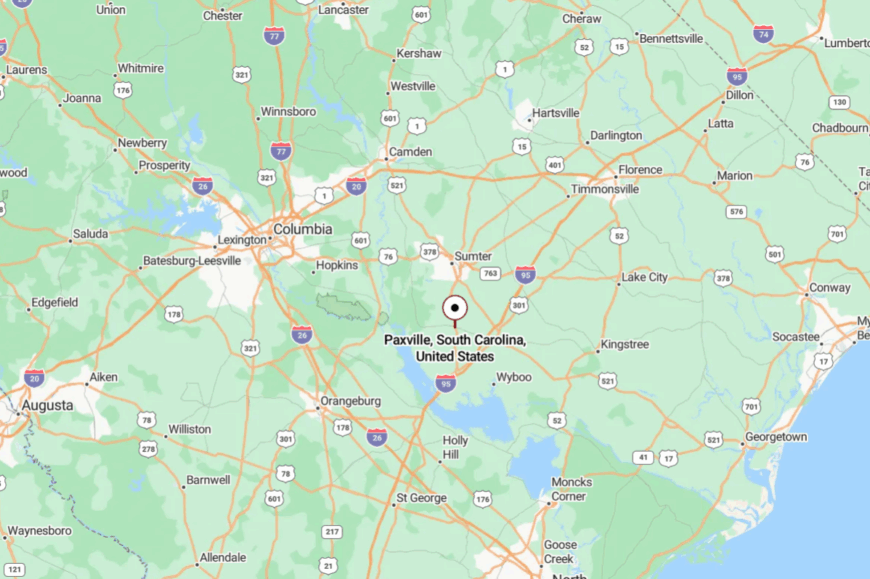
In central-eastern South Carolina, Paxville sits in Clarendon County about 12 miles west of Manning and 8 miles east of Summerton. US-261 brings you in under a canopy of pines.
There’s no shortcut—just the pleasant kind of straight line. It’s close to Lake Marion yet keeps its own hush.
11. Pinewood: Swamp-Edge Solitude by Sparkleberry Flats
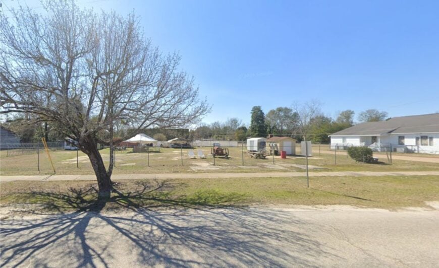
Pinewood leans into the wild side of Lake Marion, with cypress knees and Spanish moss never far from the edge of town. Seclusion is written in water here: swamp, backwaters, and wildlife areas that hold the world at a respectful distance.
The vibe is outdoors-true and neighborly—jon boats at daybreak, church fish fries, and quiet streets at noon. Explore Sparkleberry Swamp by kayak, birdwatch in Manchester State Forest, fish lily-dotted flats, or wander sandy forest roads scented with pine.
Small shops, guiding, and lake life steady the calendar. When the sun drops behind the cypress, the whole place goes soft and gold. It’s close enough to reach, but far enough to feel like you’ve left everything behind.
Where is Pinewood?

Pinewood sits on the Sumter/Clarendon County line along SC-261, about 20 miles south of Sumter and 15 miles northwest of Santee. Approaches thread past fields, then slip into forest and wetland edges.
The last miles trade speed limits for birdsong. You arrive with the smell of water in the air.
10. Salters: A Hidden Retreat in the Lowcountry
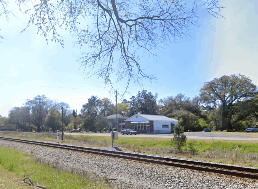
Salters is a serene spot in the Lowcountry that I’ve come to appreciate for its peaceful ambiance and tight-knit community of just a few hundred residents. Nestled away from the hurried pace of larger towns, it’s the perfect place to unwind and enjoy the simple pleasures of rural living.
One of my favorite things to do here is exploring the countryside, where vast fields and old oak trees create a picturesque landscape that’s ideal for leisurely walks and photography. Agriculture is the backbone of Salters, and the town’s rich farming traditions contribute to its laid-back charm.
What truly sets Salters apart is its seclusion—tucked off the main roads, it offers a quiet haven where you can disconnect from the noise of everyday life. This hidden retreat is all about embracing tranquility and savoring the authenticity of the South Carolina Lowcountry.
Where is Salters?
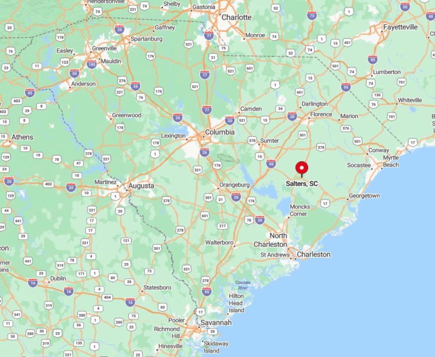
Located in Williamsburg County, Salters sits comfortably off the beaten path in Eastern South Carolina. It’s this tucked-away position that enhances its secluded feel, as it’s not directly accessible via major highways, which means fewer visitors and a more intimate atmosphere.
To get to Salters, I usually take Interstate 95 and then venture onto the smaller country roads that meander through charming rural landscapes before reaching the town.
The journey itself is part of the appeal, offering a glimpse into the area’s natural beauty and reinforcing why Salters remains a peaceful escape from the bustle of city life.
9. Andrews: Small-Town Living Amidst Natural Beauty
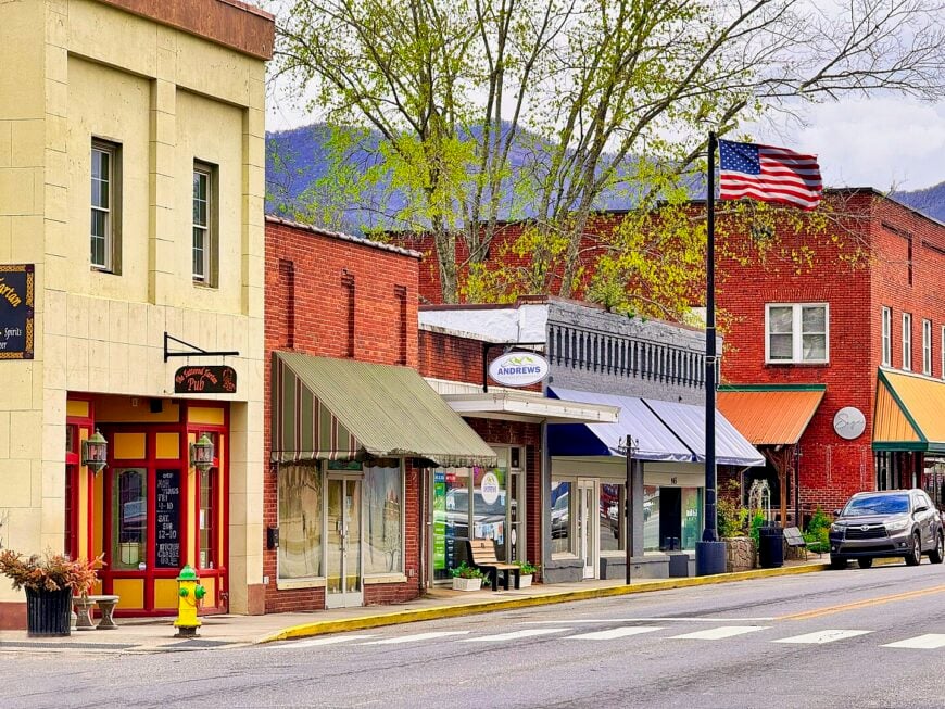
Andrews is a charming small town with a population of around 2,800, where I’ve found a delightful blend of seclusion and Southern hospitality. Surrounded by lush forests and pristine waterways, it’s a haven for nature enthusiasts like me who enjoy activities such as fishing, kayaking, and hiking along scenic trails.
The town’s history is rooted in agriculture and timber, and you can still feel that heritage in the local culture and landscapes.
What makes Andrews truly special is its away-from-it-all atmosphere—despite offering all the essentials, it feels worlds apart from the noise and rush of bigger cities. The quiet streets and friendly faces make it a perfect spot to relax and soak in the natural beauty that defines Eastern South Carolina.
Where is Andrews?
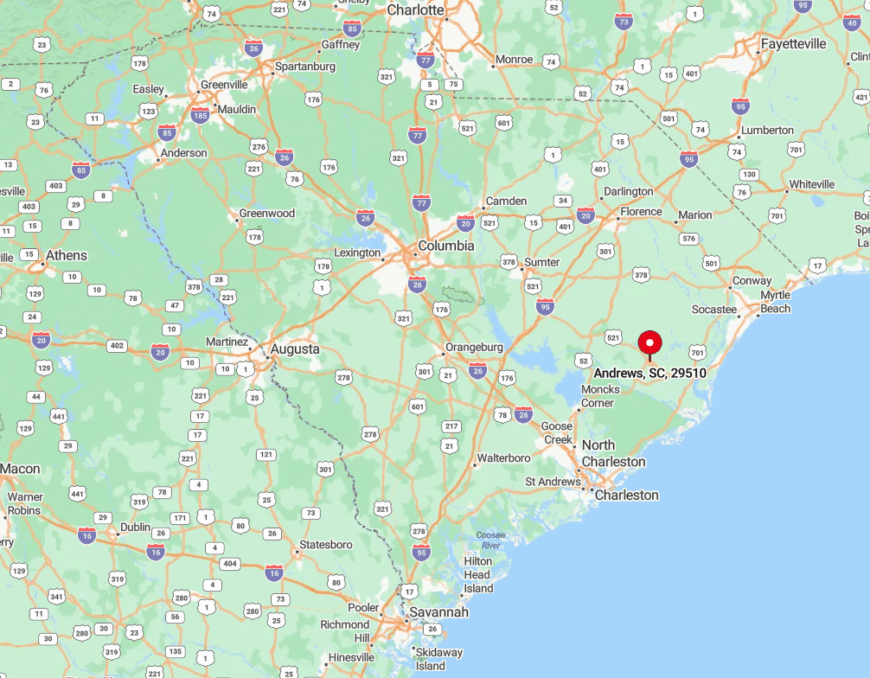
Andrews is situated in Georgetown County, nestled between the cities of Georgetown and Kingstree in Eastern South Carolina. Its location off the main tourist routes contributes to its secluded charm, allowing the town to maintain a peaceful, close-knit community vibe.
When I visit, I usually take U.S. Highway 521, which leads me through picturesque rural settings before arriving in Andrews. This accessibility, combined with its tranquil surroundings, makes Andrews an ideal escape for those looking to enjoy small-town living amidst the natural beauty of the Lowcountry.
8. Lane: Tranquility in the Heart of Williamsburg County
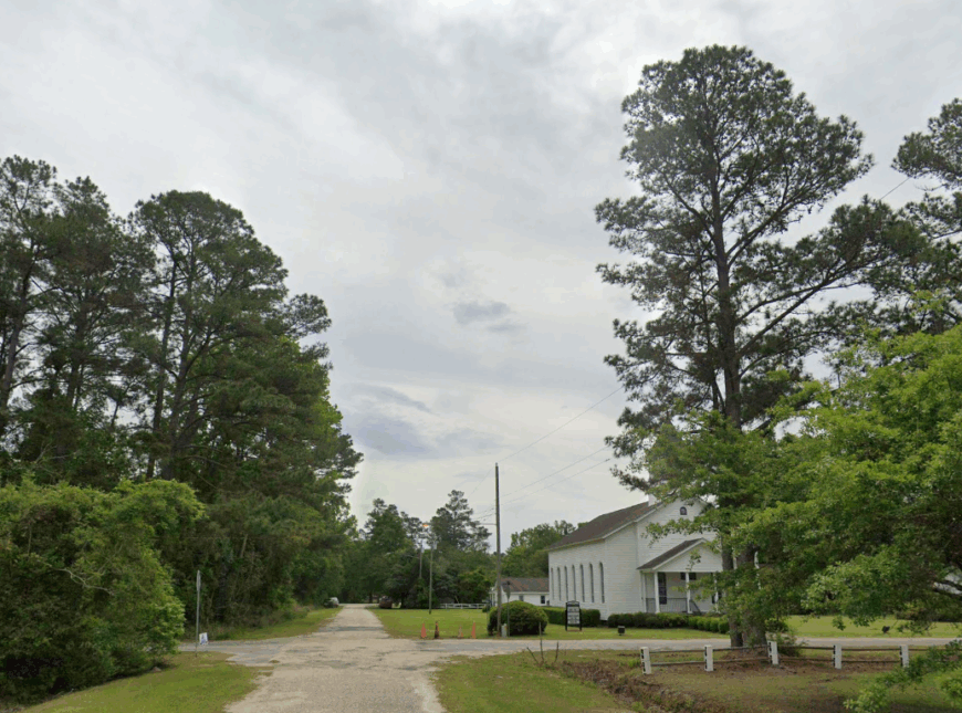
With a modest population of just under 600 residents, Lane has become one of my favorite spots to experience true tranquility. This small town boasts quiet streets and an absence of bustling traffic, making it an ideal place for leisurely strolls and unwinding from the daily grind.
Surrounded by sprawling farmlands and dense woods, it’s a haven for anyone who appreciates the simple beauty of nature.
Agriculture is at the heart of the community, and the local farms add to the picturesque charm of the area. Lane’s rural setting and minimal development enhance its secluded character, offering a peaceful escape that’s hard to find elsewhere in today’s fast-paced world.
Where is Lane?
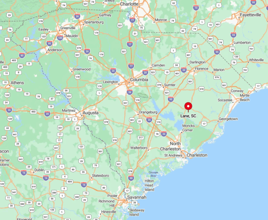
Located in Williamsburg County, Lane sits comfortably in Eastern South Carolina, away from the major highways and urban centers. This off-the-beaten-path location is a key part of why I find it so peaceful—the lack of through traffic ensures a quiet environment that’s perfect for relaxation.
To reach Lane, I typically take U.S. Highway 521 and then navigate onto smaller country roads that lead directly into town. The journey through the scenic countryside only adds to the charm, making Lane a delightful destination for those seeking a serene retreat in the heart of the Lowcountry.
7. Gresham: Rural Charm in Marion County
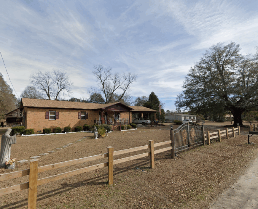
Gresham is a place where rural charm meets a close-knit community, and it’s a joy to spend time among its friendly residents, who number just a few hundred. The extensive open lands surrounding the town are perfect for those who appreciate the quiet serenity of the countryside.
I’ve enjoyed exploring the vast fields and forests that make Gresham feel like a world away from the hustle of city life. Agriculture plays a significant role here, with local farms contributing to the town’s laid-back ambiance and providing fresh, local produce.
Gresham’s distance from larger towns enhances its secluded character, offering a tranquil environment that’s hard to resist for someone like me who loves rural escapes.
Where is Gresham?
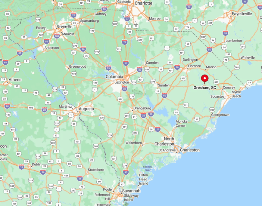
Situated in Marion County in Eastern South Carolina, Gresham is tucked away from major highways and bustling tourist areas. This location off the main thoroughfares contributes greatly to its peaceful atmosphere and seclusion.
When I head to Gresham, I often take State Route 41 or 908, which take me through scenic landscapes before arriving in this quiet community. The town’s remoteness and the journey to get there make it a perfect destination for those seeking a genuine rural retreat amid the natural beauty of the Lowcountry.
6. Nesmith: A Tiny Hamlet Immersed in Nature
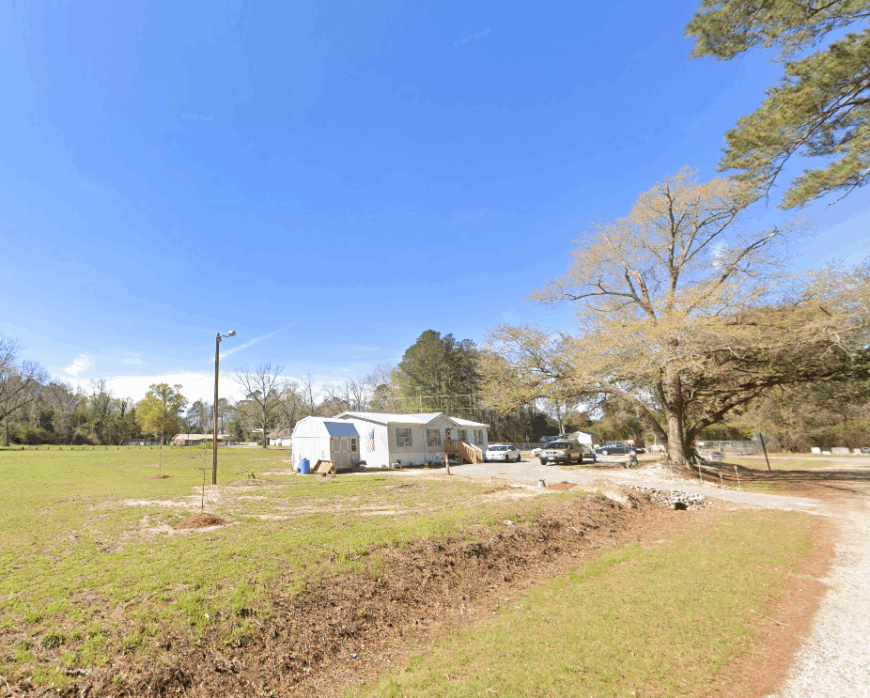
Nesmith is one of those places where you can truly disconnect, with a very small population that offers a sense of privacy and solitude I rarely find elsewhere.
Immersed in lush natural surroundings, it’s perfect for outdoor enthusiasts who enjoy activities like bird watching, fishing, and simply taking in the peaceful environment.
There aren’t any major industries here, which only adds to the town’s quietude—it’s a place where nature takes center stage. What draws me to Nesmith is that feeling of being completely off the grid, where the stresses of modern life seem to melt away amid the whispering pines and open skies.
Where is Nesmith?
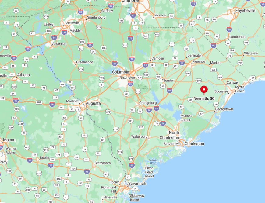
Located in Williamsburg County, Nesmith lies in the heart of Eastern South Carolina’s rural landscape. Its seclusion is amplified by its position away from major highways and urban centers, ensuring a tranquil atmosphere that’s hard to come by.
I usually reach Nesmith by taking U.S. Highway 701 and then venturing onto smaller rural roads that lead into this hidden hamlet. The journey itself is a relaxing drive through scenic farmlands and forests, making the destination all the more rewarding for those seeking a peaceful escape.
5. Bonneau: Lakeside Serenity on the Shores of Lake Moultrie
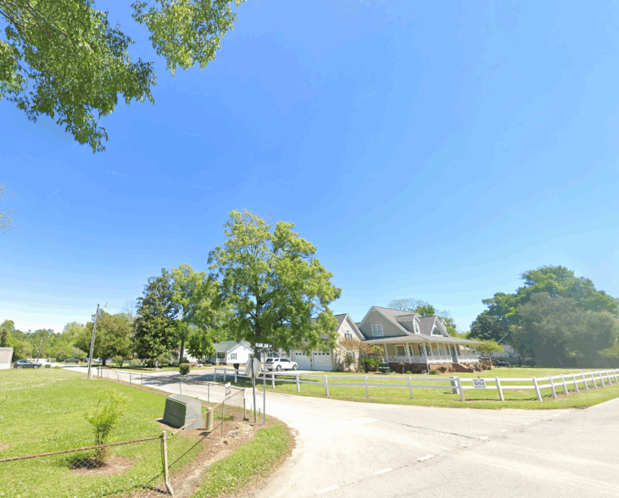
Bonneau is a delightful town of about 500 residents that I’ve fallen in love with for its serene lakeside setting. Nestled on the shores of Lake Moultrie, it offers stunning water views and a range of outdoor activities like fishing, boating, and kayaking that I can’t get enough of.
The town’s main industries revolve around recreation and the natural beauty of the lake, with small businesses catering to visitors and locals who enjoy life by the water.
What makes Bonneau truly secluded is its tranquil atmosphere—despite its recreational offerings, it remains a quiet lakeside town where you can unwind and soak up the peaceful surroundings.
Where is Bonneau?
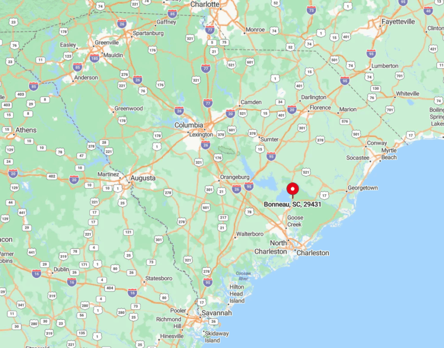
Bonneau is located in Berkeley County, in Eastern South Carolina, positioned comfortably along the western shore of Lake Moultrie. Its seclusion comes from being tucked away from major highways, offering a quiet retreat that’s still accessible.
To get to Bonneau, I often take U.S. Highway 52 and then navigate onto local roads that wind their way to the town. The scenic drive alongside the lake and through wooded areas sets the tone for a relaxing getaway, making Bonneau an ideal destination for those seeking lakeside serenity away from the crowds.
4. Hemingway: A Peaceful Retreat Surrounded by Farmland
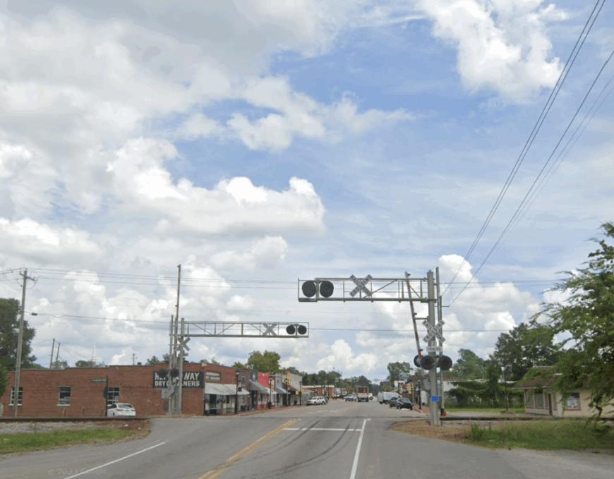
With a population of around 530, Hemingway offers a laid-back ambiance that I find incredibly refreshing. Surrounded by expansive farmlands, this town is steeped in agricultural roots, particularly tobacco farming, which has shaped its history and culture.
I enjoy visiting Hemingway for its quiet streets and the chance to experience authentic rural life, far from the clamor of bigger cities. The local community is warm and welcoming, and the simplicity of life here is a reminder of the charm inherent in small-town living.
The expansive rural landscapes not only provide beautiful scenery but also contribute to the town’s secluded feel, making it a peaceful retreat where I can truly relax.
Where is Hemingway?
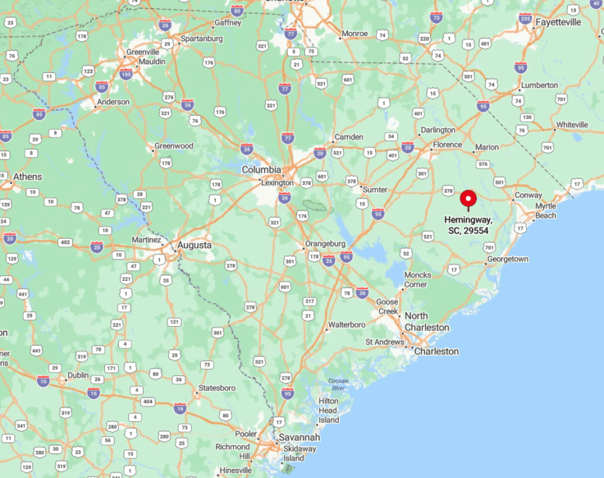
Situated in Williamsburg County, Hemingway lies in Eastern South Carolina, comfortably distanced from the busier coastal areas. Its location amid vast farmlands enhances its seclusion, offering a quiet environment free from heavy traffic and urban noise.
When heading to Hemingway, I usually take State Highway 41 or 261, which lead me through picturesque countryside before arriving in town. The journey is a pleasure in itself, highlighting the natural beauty of the region and reinforcing why Hemingway is such a tranquil escape.
3. Jamestown: Hidden Gem Nestled in the Lowcountry
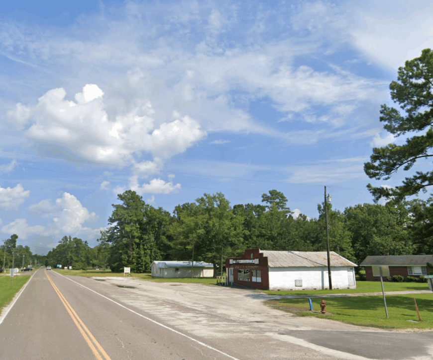
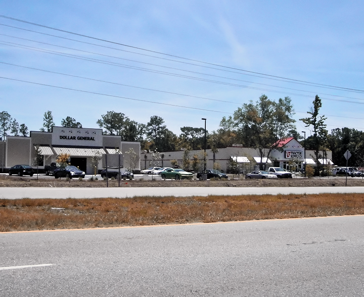
Jamestown is a tiny treasure with a population of just around 72 people, offering an intimate small-town atmosphere that I absolutely adore. Nestled amid the towering trees of the Francis Marion National Forest, it’s a paradise for outdoor enthusiasts like me who enjoy hiking, bird watching, and exploring nature trails.
The town doesn’t have major industries, but its proximity to the forest makes it an important spot for forestry and conservation efforts.
What enhances Jamestown’s seclusion is not just its size but also its distance from urban centers, providing a quiet lifestyle that’s hard to find in today’s fast-paced world. It’s a place where I can truly disconnect and immerse myself in the tranquility of the Lowcountry.
Where is Jamestown?
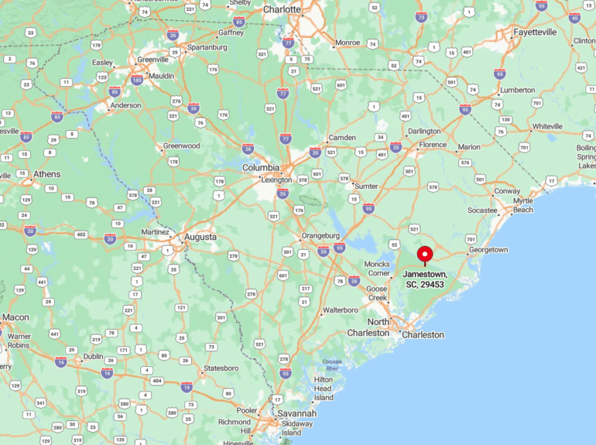
Located in Berkeley County, Jamestown sits in Eastern South Carolina, deep within the expanses of the Francis Marion National Forest. This location contributes significantly to its secluded feel, as it’s enveloped by miles of woodlands that separate it from larger towns and cities.
To reach Jamestown, I often take U.S. Highway 17A and then venture onto State Road 45, which winds through the forest and leads directly into town. The drive through the dense woods is a serene experience in itself, setting the stage for the peaceful retreat that awaits in Jamestown.
2. Awendaw: Nature Lover’s Escape Along the Wando River
Awendaw is a peaceful town of about 1,300 residents that I’ve come to cherish for its rich natural beauty along the Intracoastal Waterway and the Wando River. It’s a haven for nature lovers like me, with abundant wildlife, serene waterways perfect for kayaking, and miles of trails in the Francis Marion National Forest.
The town’s connection to the sea and forests also means that ecotourism plays a significant role in its local economy. What makes Awendaw particularly secluded is its proximity to the Cape Romain Wildlife Refuge, which adds to the sense of seclusion by surrounding the town with protected lands and waters.
Where is Awendaw?
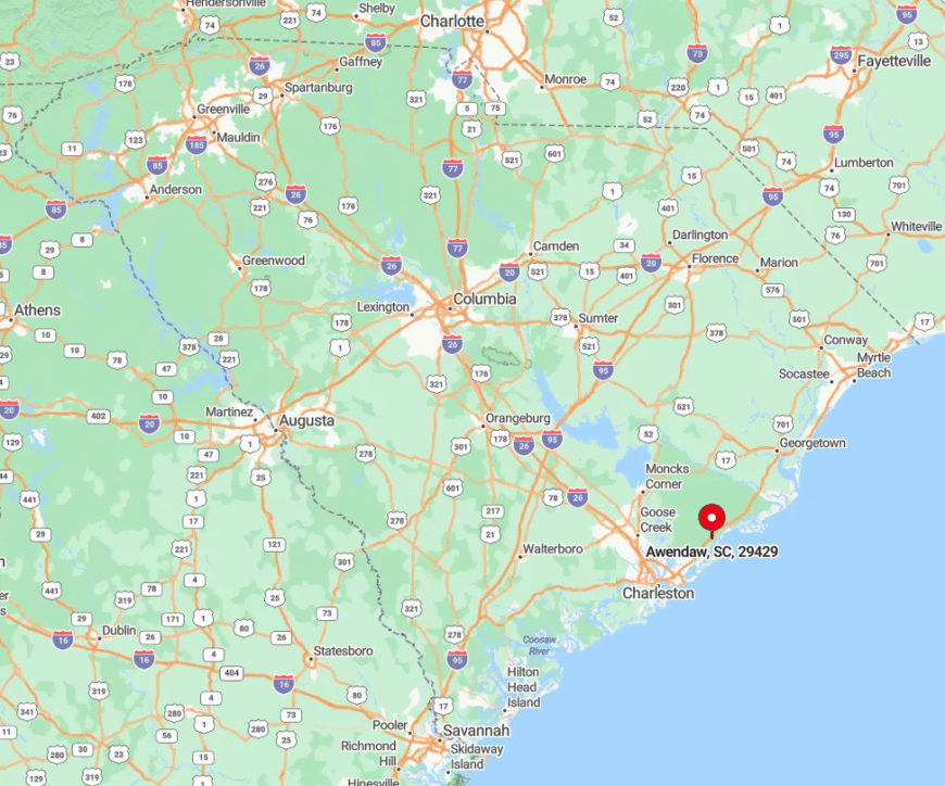
Located in Charleston County, Awendaw sits along the eastern edge of South Carolina, north of Mount Pleasant. Despite its relative proximity to Charleston, it maintains a secluded charm due to the vast stretches of protected lands that envelop it.
To get to Awendaw, I usually take U.S. Highway 17, which offers a scenic route flanked by marshlands and forests. The journey underscores why Awendaw feels so removed from the hustle of urban life, making it an ideal escape for those looking to reconnect with the natural world.
1. McClellanville: A Quaint Fishing Village Surrounded by Forests
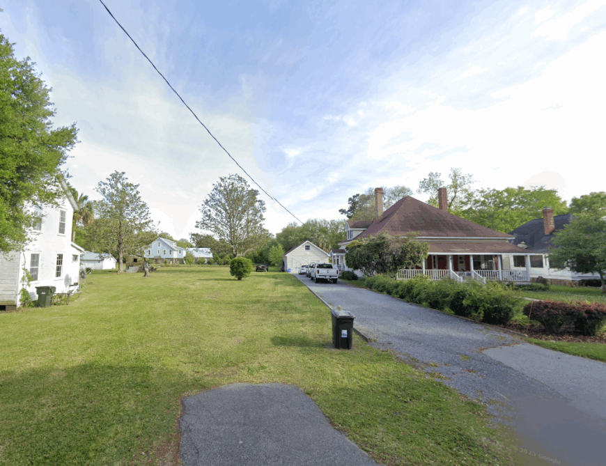
McClellanville is a quaint fishing village with a population of around 500, and it’s easily one of my favorite secluded spots in Eastern South Carolina. The town is rich in history, with beautiful historic homes shaded by ancient oaks draped in Spanish moss.
I love strolling through the quiet streets and soaking in the charm of this timeless place. Seafood is at the heart of McClellanville’s heritage—it’s renowned for its shrimping industry, and indulging in fresh-caught seafood is a must when I’m there.
The surrounding Francis Marion National Forest not only enhances the town’s natural beauty but also adds to its seclusion, making it a peaceful haven where the pace of life is delightfully slow.
Where is McClellanville?
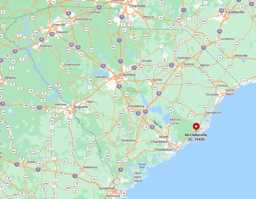
Situated in Charleston County along the coast, McClellanville is nestled between Charleston and Georgetown but feels worlds away due to its secluded setting.
The town is enveloped by the Francis Marion National Forest and bordered by the Intracoastal Waterway, which together create a buffer from the bustle of nearby cities. To reach McClellanville, I take U.S. Highway 17, and as I drive deeper into the forest-lined roads, the serenity becomes palpable.
This off-the-beaten-path location is part of what makes McClellanville so special—a hidden gem where I can escape the noise and reconnect with the simple pleasures of coastal living.
