
55 enumerators and project coordinators used the Field Tasking Manager (Field-TM) for a building survey in Tokha, Nepal, to improve metric addressing and develop integrated databases. The tool enhanced data collection during a house numbering survey of 17 km² and 30,000 buildings. Despite challenges, the project progressed smoothly, providing insights for enhancing Field-TM. The municipality plans to use the data for assigning house numbers and urban management, highlighting the importance of efficient data collection in growing urban areas.
“As a mapper, I will always suggest and use Field-TM for field surveys”.
“Using Field-TM, we could better coordinate all the mappers and I am amazed that Field-TM has such great features that we can use Field-TM for more use cases”.
These are the words by mappers and project coordinators who used the Field Tasking Manager (Field-TM) for a building survey in Tokha, Nepal, for metric addressing and developing integrated databases of the municipality.
With rapid urban growth, maintaining accurate and updated geospatial data is essential for effective planning and development. Field-TM has proven to be a valuable tool for managing field surveys across various sectors, including urban planning, disaster response, and infrastructure monitoring. Recently, Tokha Municipality utilized Field-TM for a large-scale house numbering survey, significantly improving efficiency in data collection and management.
Tokha Municipality is experiencing rapid population growth and infrastructure development, largely influenced by Kathmandu Metropolitan City. As the municipality expands, maintaining an accurate geospatial database is essential for effective urban planning. One key component of this planning is house numbering, which provides a structured address system for residents. To achieve this, Tokha Municipality initiated a comprehensive field survey covering approximately 17 km², with an estimated 30,000 buildings. Field-TM was utilized to make the whole process more efficient.
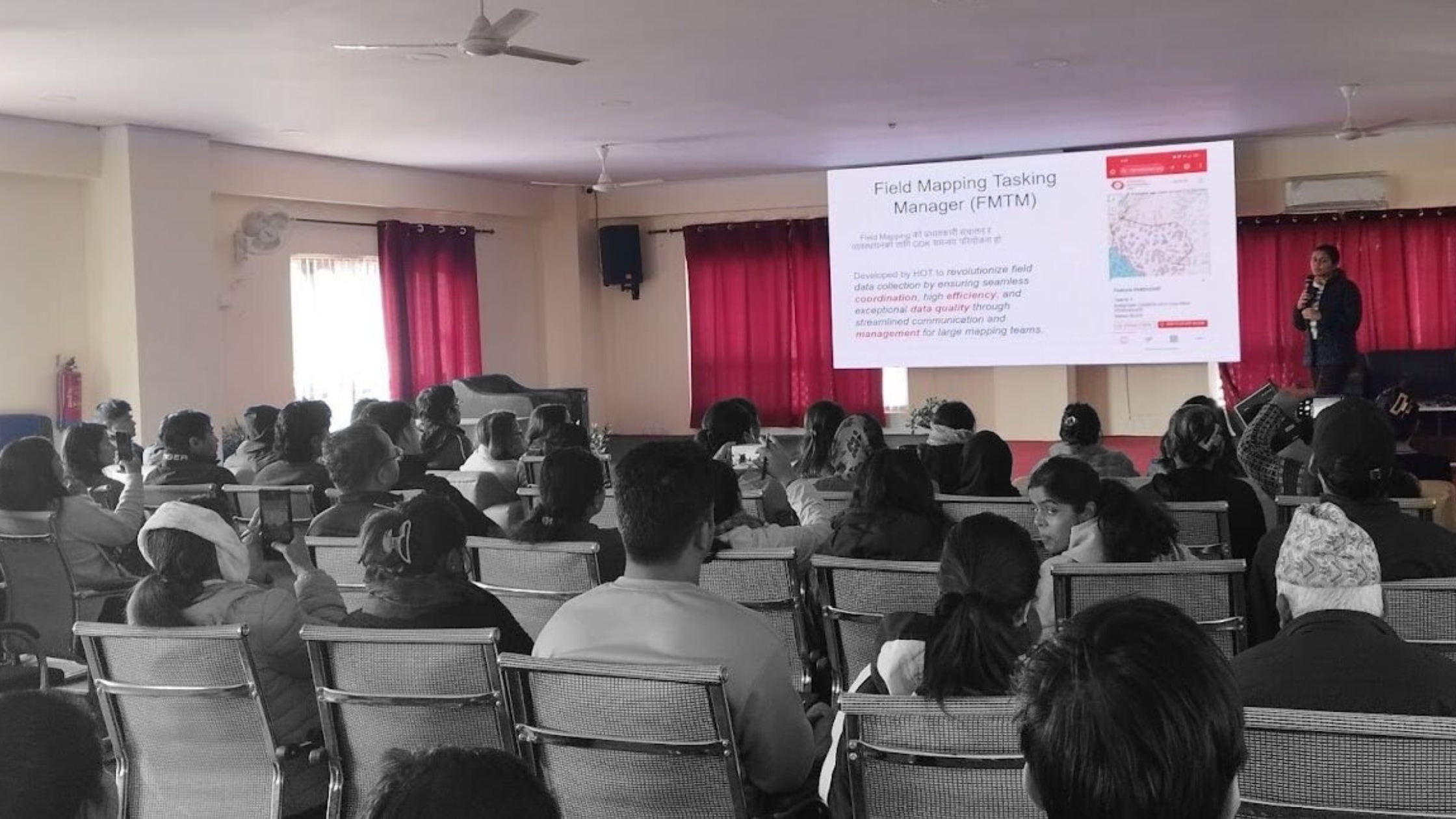
Screenshot of the Thokha Building Survey project as seen in Field-TM’s interface
How It Worked
A well-planned approach was key to making this survey a success:
- Before hitting the field, 55 enumerators went through a two-day, hands-on training to learn Field-TM mapping workflows, data collection procedures, and troubleshooting basics. The training was conducted through a collaboration between the Field TM technical team from Naxa, field coordinators, and with the support of municipal officers.
- A dedicated Tokha instance of Field-TM was set up to ensure data confidentiality.
- A monitoring and validation team of five was prepared to support the enumerators, answer questions, and validate data for accuracy. The set of validation criteria was also prepared to help ensure accurate data collection.
Challenges & How We Solved Them
Like any large-scale field survey, this project too had its fair share of challenges. But with quick fixes, things stayed on track:
- Server Overload: Too many users at once led to server slowdowns and occasional downtime in its initial days. However, we upgraded the server capacity to handle the extra load, and things ran much more smoothly afterward.
- Device Troubles: Some devices struggled with ODK form submissions or had trouble loading the building layer. We debugged device compatibility issues and offered alternative workflows for affected users.
- OSM Account Requirement: Field mappers were required to create an OpenStreetMap (OSM) account to track submissions, adding complexity to the process. Considering the field requirements, we are working on adding Google login for easier authentication and contribution tracking.

The remaining features, mostly marked as bad and some left in the first go, have been downloaded to create another project at the whole municipality level.
Despite the challenges, the field mapping activity in Tokha Municipality is being finalized smoothly without major project disruptions. The insights gained from this initiative are being used to enhance Field-TM, paving the way for more efficient and scalable field mapping solutions in future urban development projects.
The municipality primarily plans to use this data to assign house numbers to each household. Additionally, they are developing an integrated municipal database to support house inventory management and urban data planning and management.
As urban areas continue to grow, tools like Field-TM play a crucial role in ensuring efficient data collection and informed decision-making for urban development. Continuous improvements to the platform will further enhance its usability, making field mapping more accessible and effective.
We invite urban planners, local governments, and mapping communities to explore Field-TM and see how it can streamline their field surveys. If you’re interested in collaborating, sharing feedback, or learning more about how Field-TM can support your projects, reach out [to the team] (https://docs.fmtm.dev/about/team/) or on HOT’s Field-TM Slack channel.
Finally, you can watch our latest webinar recording and mini demo tutorials of the three main workflows: Organization creation, Project Creation, and Mapping, so you can start using Field taskign Manager now!
Stay connected for more updates on how Field-TM is contributing to urban development and other field mapping initiatives worldwide here.
About the Author
Manjita Pandey
Geomatics Engineer, Product Manager at Naxa, Open Data Advocate
Major Interests
- Disaster Management
- Climate Change
- Sustainable Urban Development